Contents
Changed Hiking Itinerary Due to a Bad Weather
Original Trip Overview Table:
| Detail | Information |
| Duration | August, 9-11,2025 |
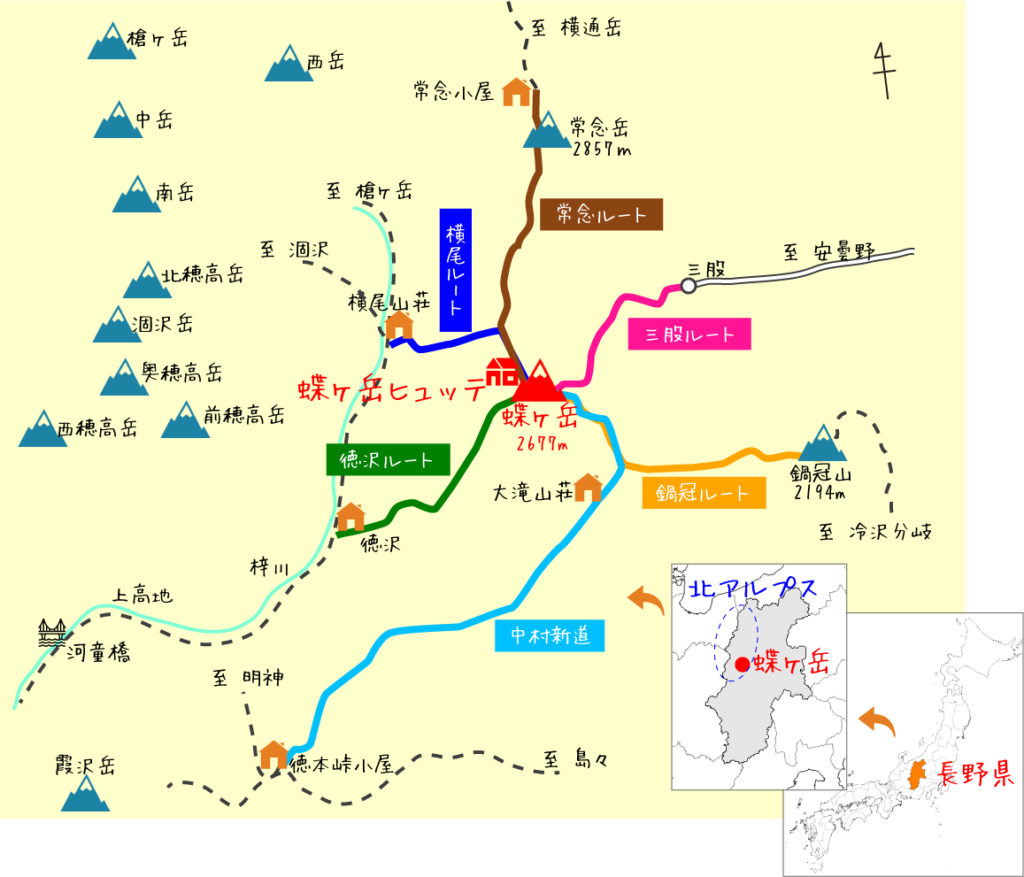
| Route | Kamikōchi → Tokusawa → Yokoo → Chōgadake-Hut → Mt. Chōga-dake → Tokusawa → Kamikōchi |
| Highest Point | 2677(Mt. Chōga-dake) |
| Difficulty | Intermediate(★★★☆☆) |
| Accomodation | Day 1: Yokoo Campsite / Day 2: Chōgadake-Hut |
| Transportation | Bus to Kamikōchi (car-free area) |
Day 1 – Kamikōchi to Yokoo-Sanso Hut
Before setting out, I checked the latest weather updates. At the time, the weather authority reported that a typhoon was approaching Japan, and a heavy rain alert had been issued for the Kyushu region in southern Japan.
Despite the distant storm, the forecast for the Northern Alps remained favorable for the next few days at the moment, so Sachi and I decided to proceed with our plan. However, originally, we intended to camp on both nights, but considering the possibility of sudden bad weather, we decided instead to stay at mountain huts for safety.
” This particular weekend was a three-day holiday, as August 11th (Monday) is Yama no Hi—Japan’s national “Mountain Day.” Because of the long weekend, both Sawando Parking and the Kamikōchi area were expected to be especially crowded, so arriving early is the best way to secure a parking spot.”
We arrived at Sawando Parking before midnight and were surprised to find more available spaces than expected. After parking, we took a short nap in the car until the first shuttle bus at 5:00 a.m.
5:00 a.m.ー the bus terminal was already crowded, with a long line of hikers waiting to buy tickets to Kamikōchi. We joined the queue and, after about 20 minutes, finally had our tickets in hand. We started off on time at 5:00 a.m.
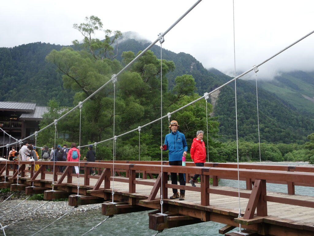
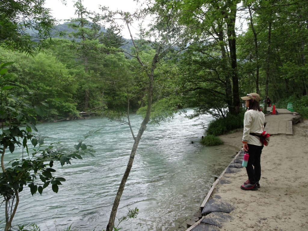
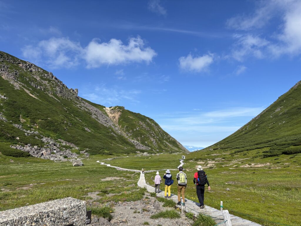
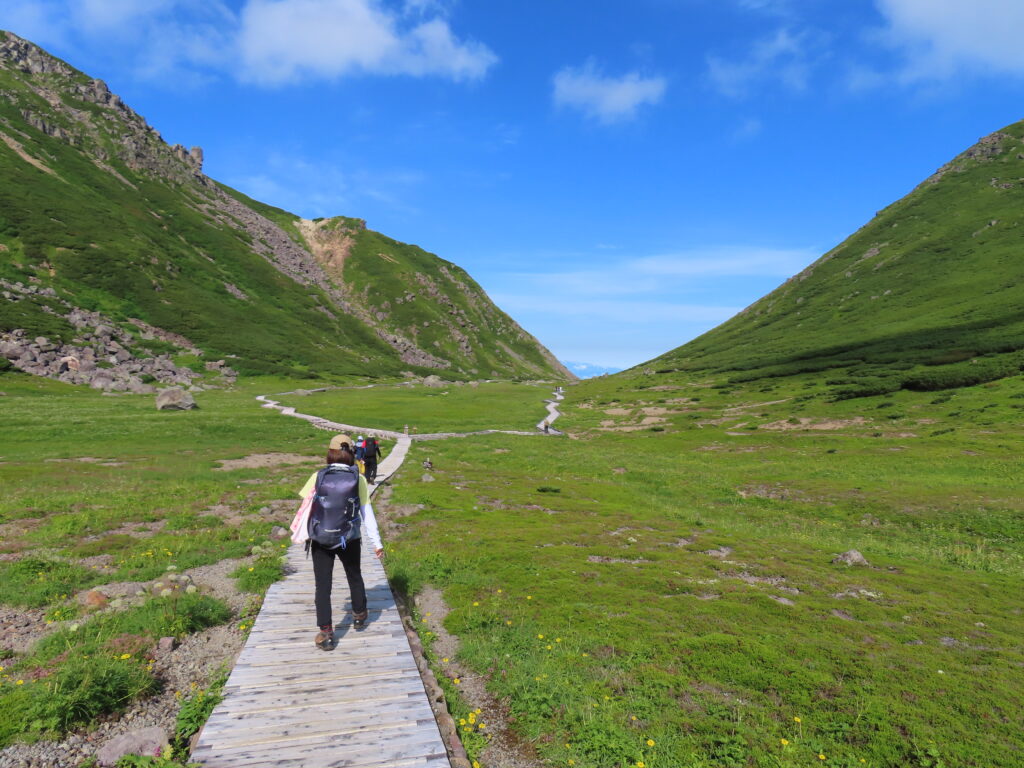
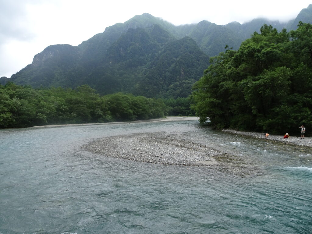
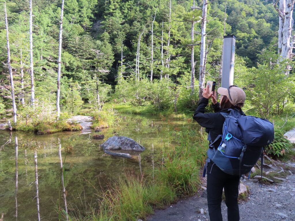
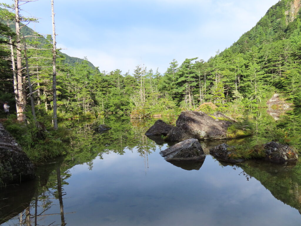
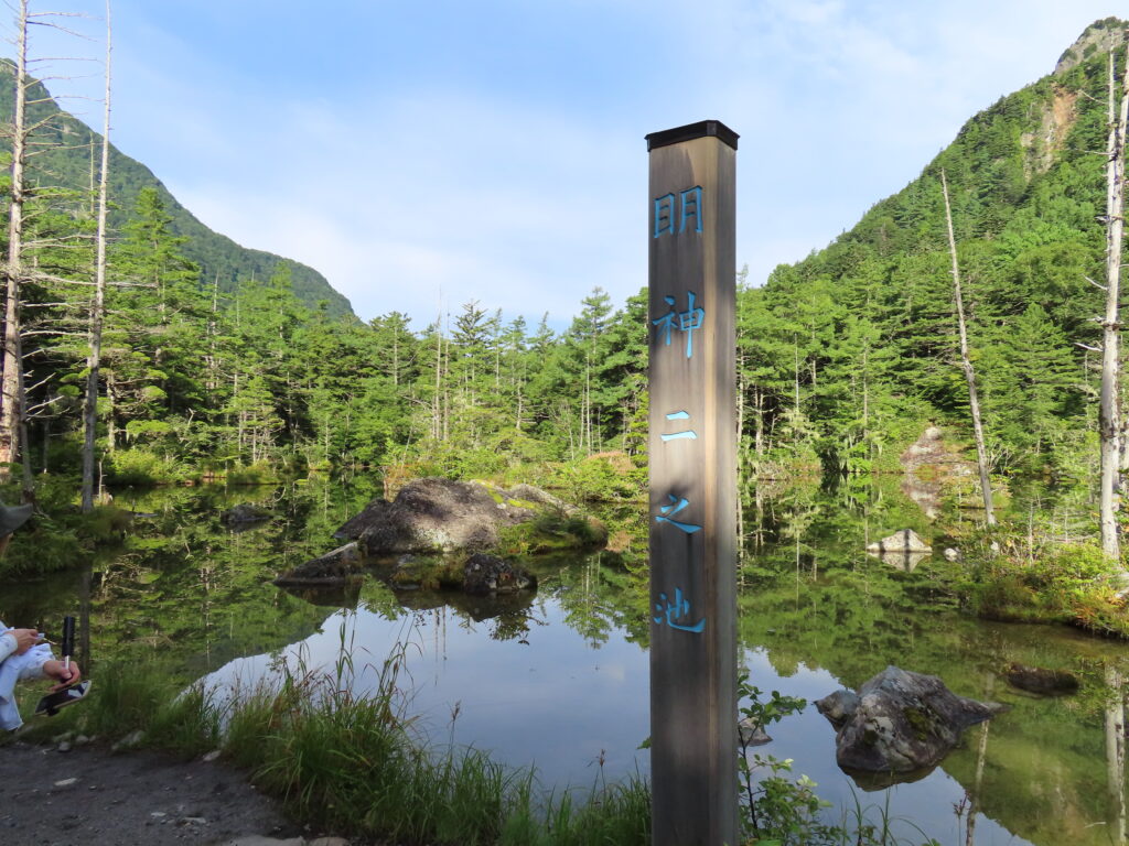
6:00 a.m.ー we arrived in Kamikōchi and began our hike, following the crystal-clear Azusa River. The trail led us through the peaceful Myōjin Pond area and onward to Tokusawa Hut, where we took a short break before continuing toward Yokoo-Sanso.
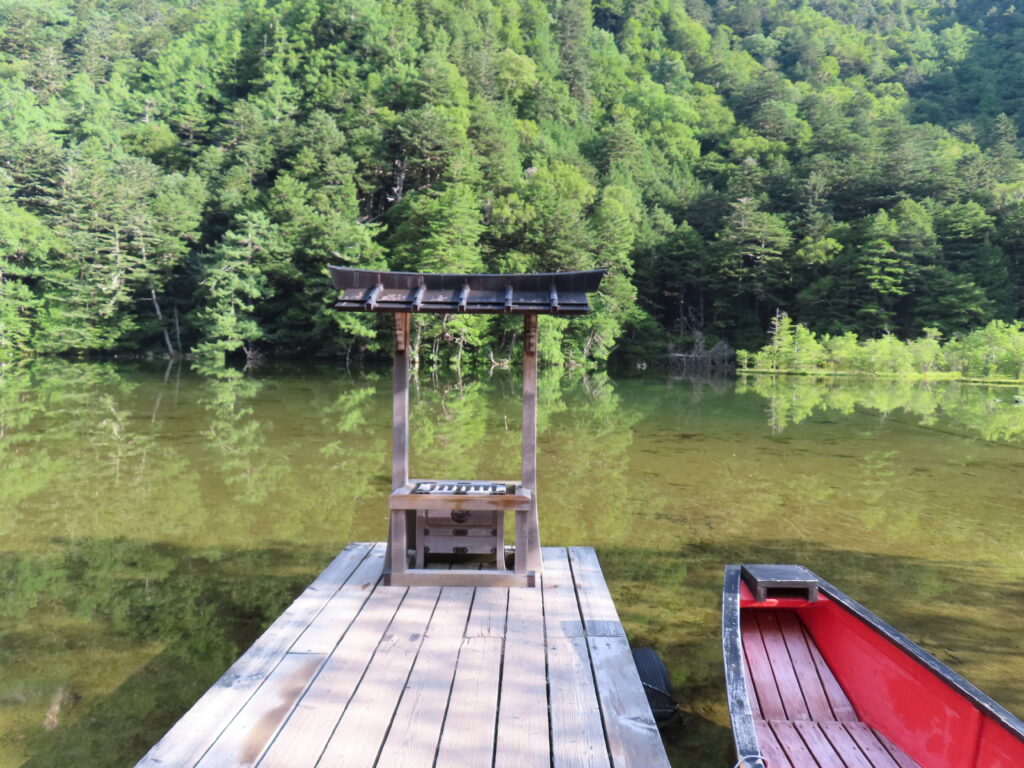
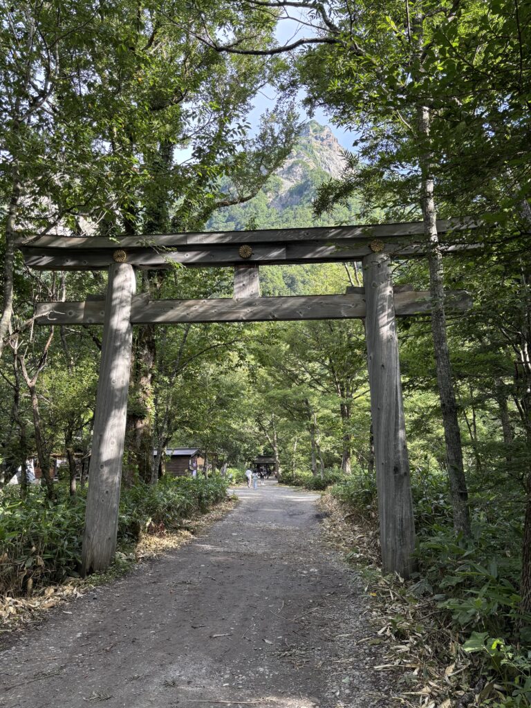
Torii of Myōjin Pond:
In Japan, a torii is a traditional gate that marks the entrance to a Shinto Shrine. Meaning, it is a spiritual gateway, passing through a torii means you’re leaving the ordinary, human world and entering a sacred, divine world.
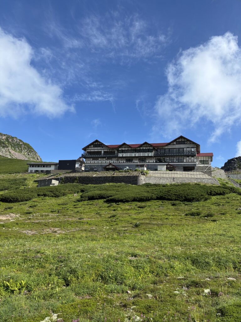
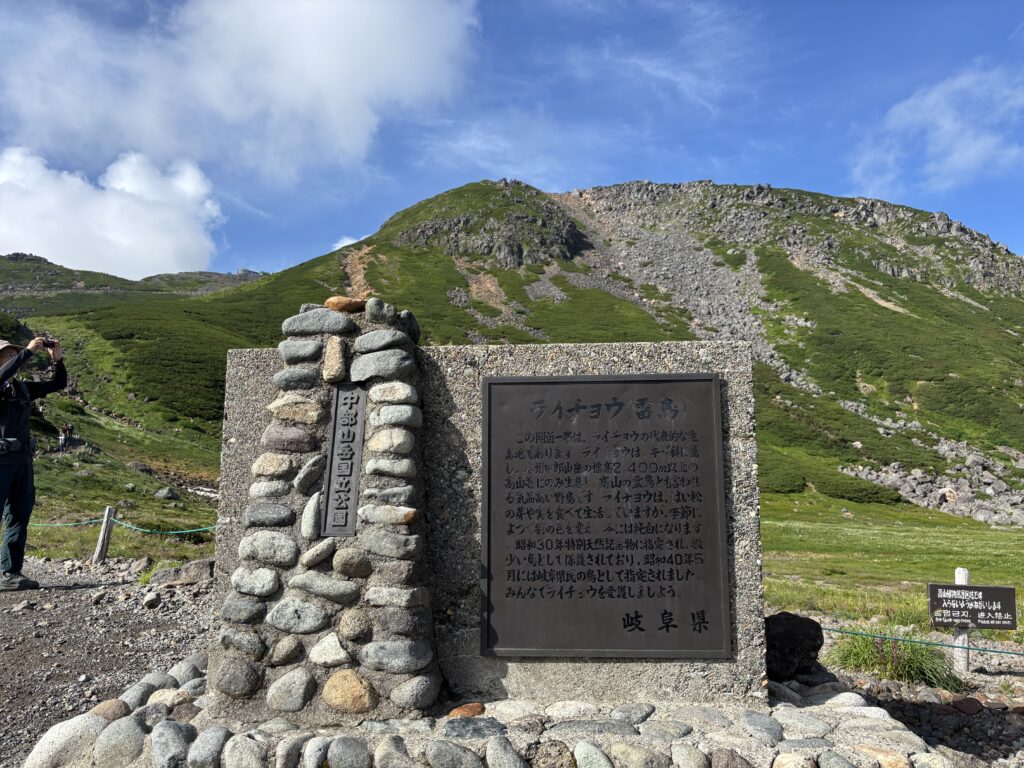
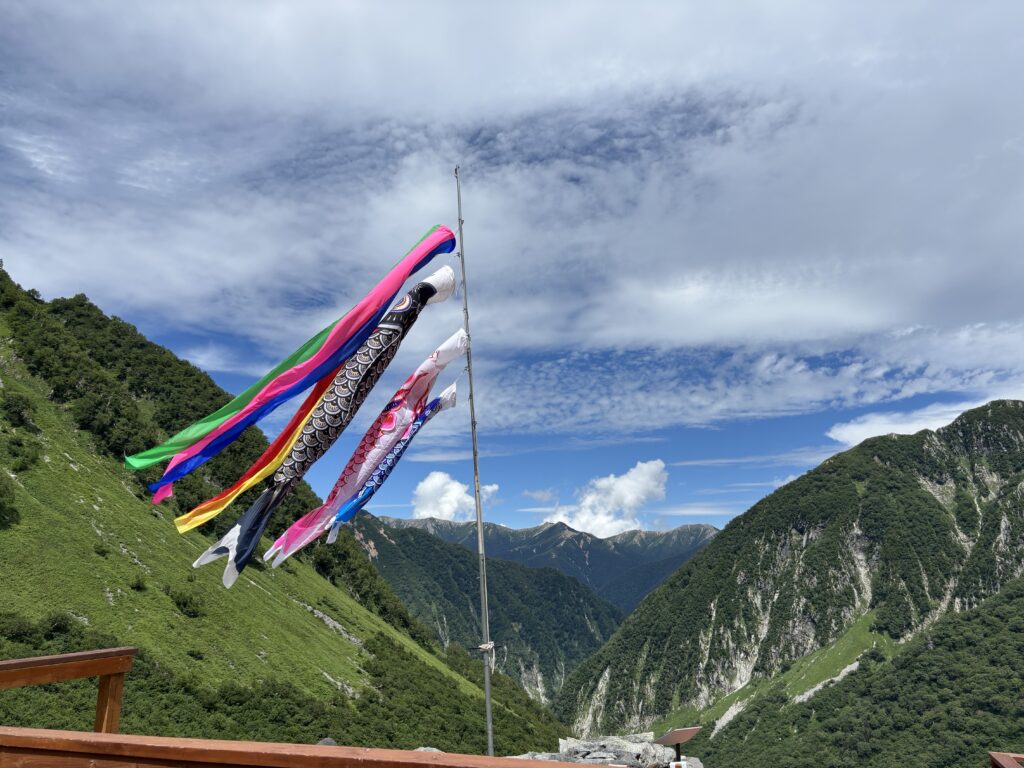
9:30 a.m.ー we reached Yokoo-Sanso, a key junction where the trail splits toward Mt. Hotaka, Mt. Yari, and Mt. Chōga-dake. The mountain rescue station here requires all hikers to register their itinerary, group size, and equipment before entering the high mountains. Staff were warning hikers about tomorrow’s weather, saying heavy rain and strong winds could cause hypothermia. “Tomorrow, it’s one hundred percent going to rain,” they told us. “Today is the only good weather you’ll get.”
Since we still had time before checking in, we decided to take advantage of the clear skies and hike toward Karasawa.
A Bear!
12:30 p.m.ー as we crossed a bridge over the Azusa River and walked through moderate forest terrain, the pace suddenly slowed. The hikers ahead had stopped. Then we saw why—there was a bear, right on the trail ahead! Everyone froze, keeping a safe distance, as the bear strolled along the path before disappearing quietly into the forest.
A stanning Viweing
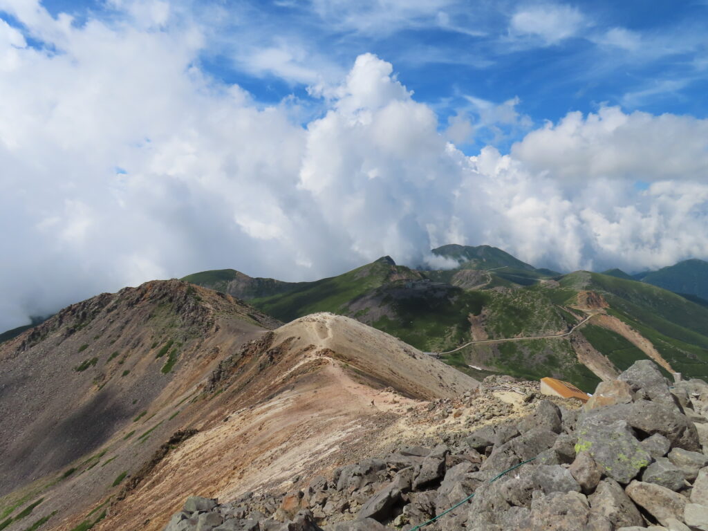
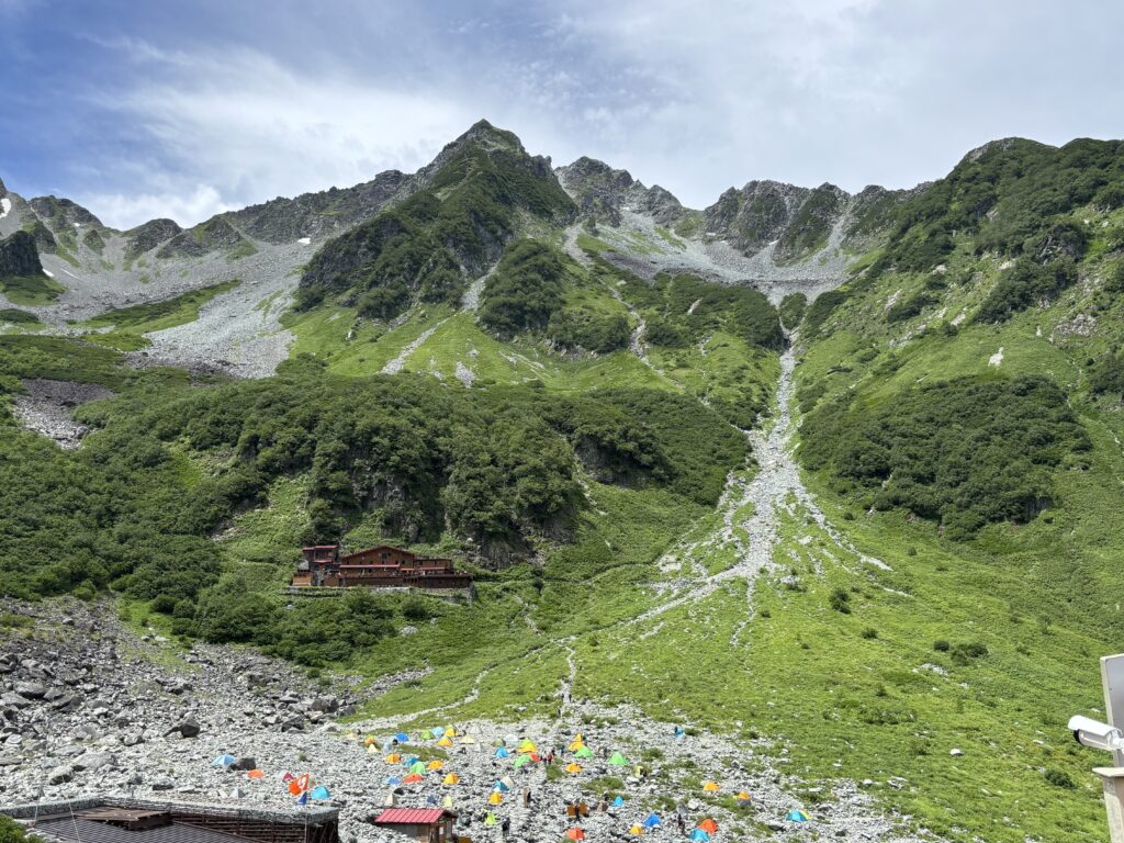
Once the bear was safely out of sight, we continued along the trail. The climb took about three hours over steep, rocky terrain with almost no breaks before we finally arrived at Karasawa Hut. There, Sachi and I enjoyed lunch while viewing the stunning peaks of the Hotaka mountain range, rising sharply against the clear blue sky.
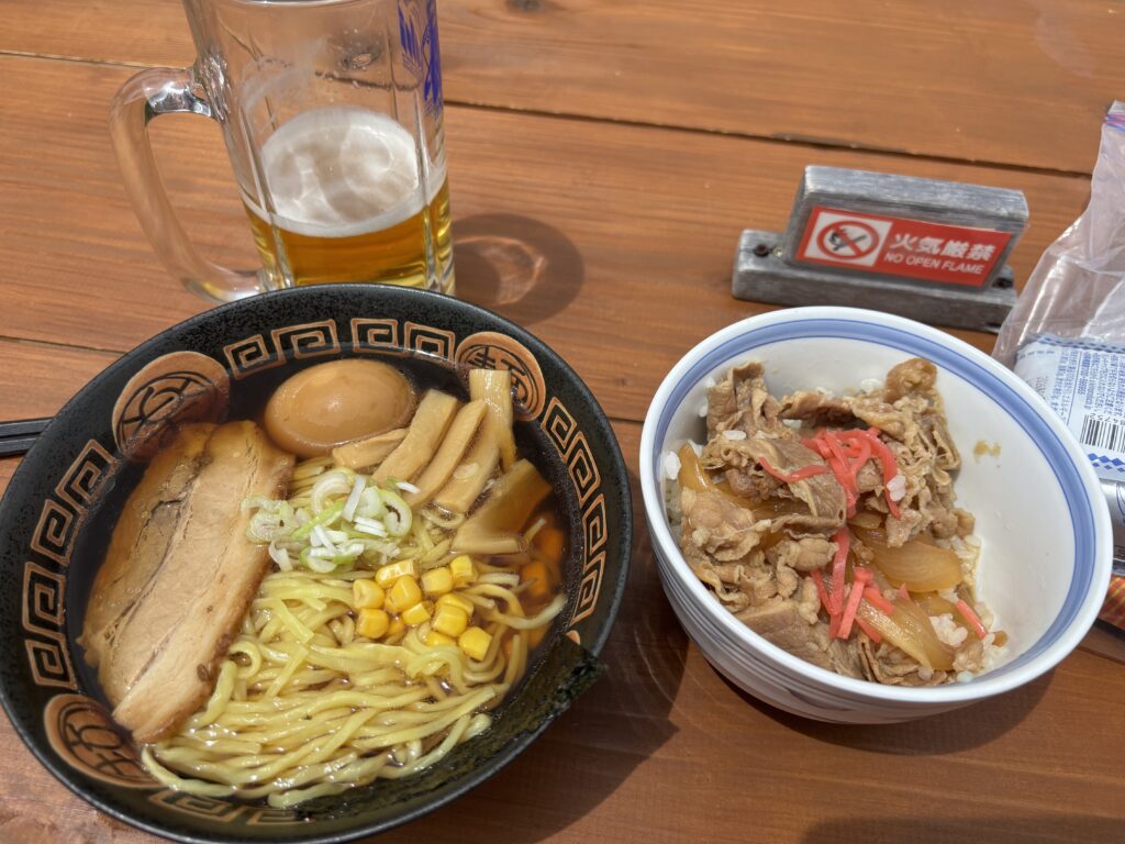
After returning from Karasawa in the late afternoon, we finally checked into Yokoo-Sanso Hut. A relaxing bath and a warm meal were just what we needed after the day’s hike. Over dinner, we made the difficult decision to cancel our plan to stay at Mt. Chōga-dake Hut, as a storm was forecast for the next day, and get back home.
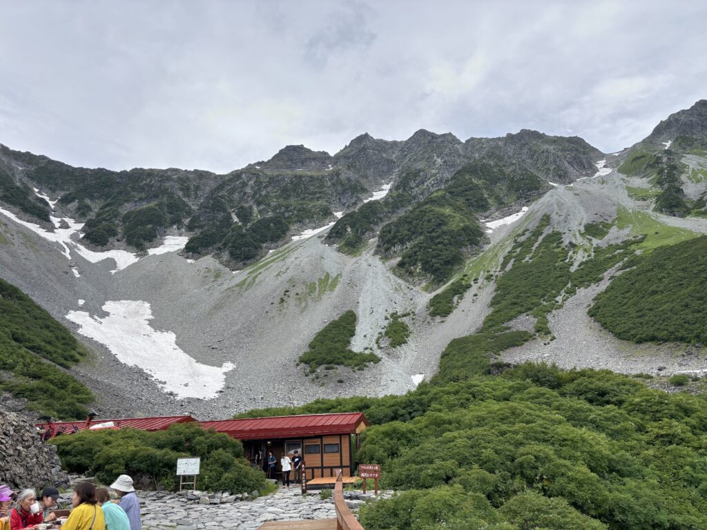

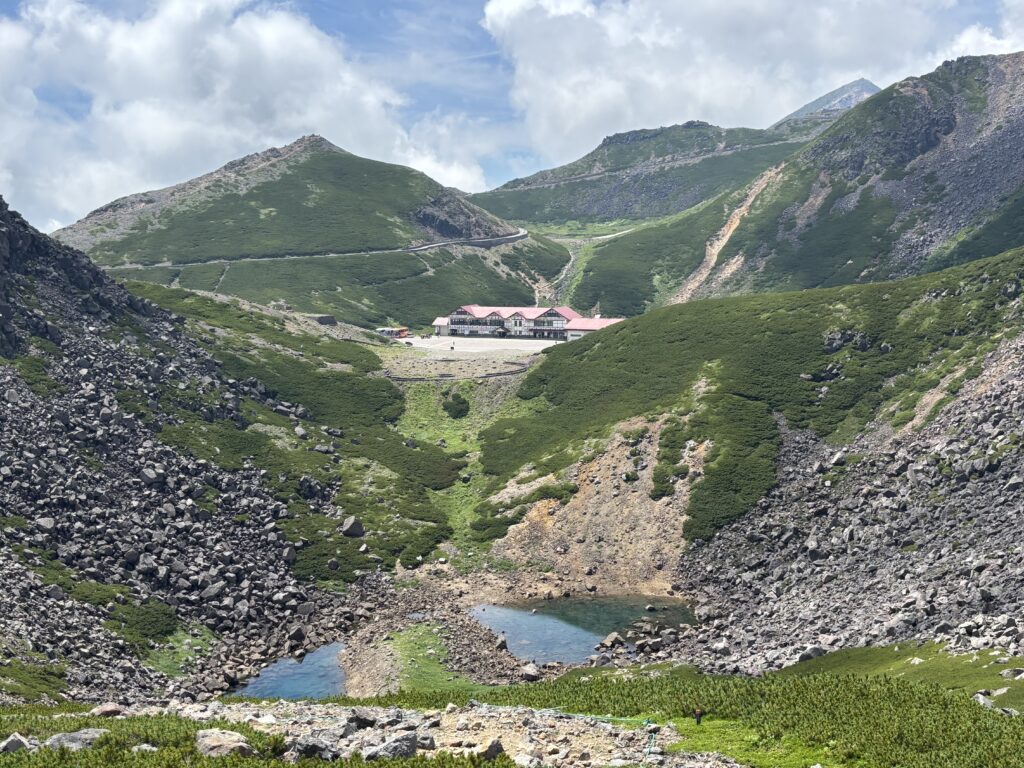
Karasawa Cirque, 2500 meters
A Chance Encounter at Yokoo-Sanso
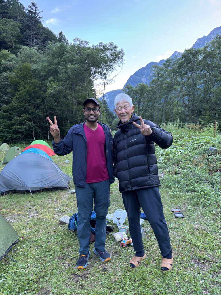
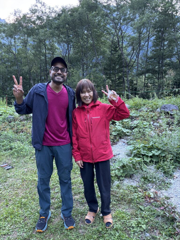
Earlier that morning, I had received an email from Mr. Deepak Y, an avid hiker from India who now resides in Tokyo for business. By chance, he had come across our Mt. Chōga-dake hiking plan on Meetup and expressed interest in meeting us. I suggested we meet at Yokoo-Sanso. After returning from Karasawa, we spotted him at the campsite, busy setting up his tent. We exchanged greetings, and I found him to be a warm and friendly person. It was a pleasant surprise to meet someone new in such a remote and beautiful place, and we enjoyed a short but lively conversation before heading back to the hut for the night.
Afterword
Thanks to Sachi for joining me on this adventure. Unfortunately, we had to change our original plan due to the weather, but we still enjoyed hiking Karasawa and taking in the stunning scenery. Meeting the friendly Mr. Deepak was an unexpected and pleasant highlight of the trip. Looking forward to our next adventure—see you on the trail!