Yesterday, on August 5th, I attended an online workshop hosted by the Nagano Prefectural Board of Education. The session focused on deepening our understanding of sexual exploitation and digital sexual violence, especially as these issues affect young people.
The workshop explained how sexual exploitation can occur both in-person and online—often targeting vulnerable individuals through manipulation, pressure, or threats. It also highlighted the growing risks of digital sexual violence, such as the non-consensual sharing of private images, sextortion, and online harassment.
What stood out was the strong emphasis on prevention through education—teaching students about consent, respect, and the responsible use of digital devices. The speaker stressed the importance of creating safe, supportive spaces where students feel empowered to speak up and seek help when needed.
As educators, it was a powerful reminder that we play a key role in raising awareness, setting clear boundaries, and protecting students from these forms of harm.
📅 Duration: August 9th – 11th 📍 Destination: Chubu Sangaku National Park, Japan’s Northern Alps
🌄 Overview
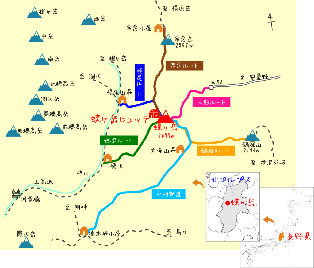
This three-day hiking adventure explores the dramatic landscapes of Japan’s Northern Alps, one of the country’s most iconic mountain ranges. The route winds through the lush Kamikōchi valley, up to alpine ridgelines, and culminates with a summit of Mt. Chōga-dake (蝶ヶ岳, 2,677m)—famous for its panoramic views of the Hotaka Range and Mt. Yari.
🗺️ Route Itinerary
Day 1 – August 9:
Start Point: Kamikōchi Bus Terminal
Hike along the Azusa River to Tokusawa-Sanso
Continue to Yokoo area
Overnight: Camp at Yokoo Campsite
Day 2 – August 10:
Early start and steep ascent toward Chōgadake-Hut
Optional sunset hike to the summit of Mt. Chōga-dake
Overnight: Stay at Chōgadake-Hut
Day 3 – August 11:
Early descent via the same trail
Return through Tokusawa
End at Kamikōchi Bus Terminal
🧭 Trail Info
Total Duration: 3 Days
Highest Point: Mt. Chōga-dake (2,677m)
Distance (Approx.): ~30–35 km round trip
Difficulty: ★★★☆☆ (Intermediate)
Trail Type: Out-and-back
Best For: Hikers with moderate experience, comfortable with elevation gain and long hiking hours
🎒 Packing List Essentials
⛺ Tent & Sleeping Gear (for Day 1 campsite)
🥾 Hiking boots (broken-in, waterproof)
🧥 Rain gear / windbreaker
🧢 Hat, gloves, sunblock
🍱 Lightweight food & snacks (for all days)
🍼 Water bottles or hydration system (refill at huts)
💡 Headlamp (especially for early starts or if sunset hiking)
🧻 Toilet paper & trash bag (pack in/pack out rule)
🆔 Cash for hut fees and emergency expenses
📱 Offline maps (YAMAP or Gaia recommended)
💡 Tips & Reminders
Reservations for Chōgadake-Hut are recommended, especially in summer season.
Kamikōchi is car-free—take a shuttle bus or taxi from Hirayu Onsen or Sawando Parking.
Check weather forecasts for mountain conditions; storms can form quickly.
Start early each day to avoid afternoon clouds or storms.
Respect nature: Follow Leave No Trace principles, and don’t feed wildlife.
We’ll hike, camp, and climb our way through one of Japan’s most iconic national parks. I’ll be documenting the trip with photos and videos, which I’ll share in a full trip report shortly after the hike. Stay tuned!
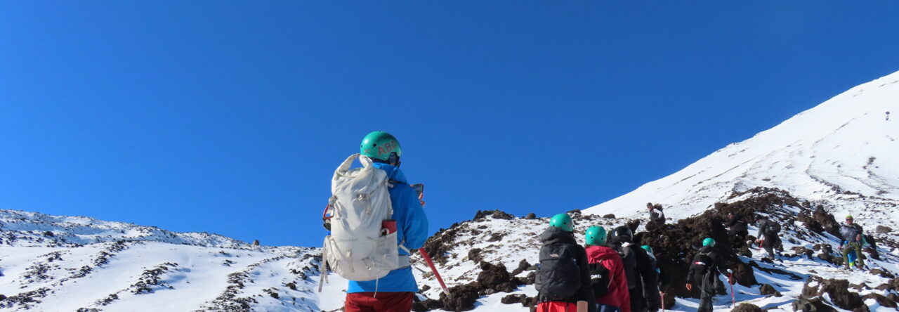
Mt. Norikura (乗鞍岳): An Accessible 3,000-Meter Peak Adventure
Mt. Norikura(乗鞍岳) is locared on the border between Nagano and Gifu Prefecturers. It’s a part of the majestic Chubu Sangaku National Park. The area is known for its dramatic alpine secenary, rich ecosystem and easy access to high elevation, making it a perfect destination for both experienced hikers and beginners looking for a mountain adventure.
Day 1 Timeline: Monday, July 28th
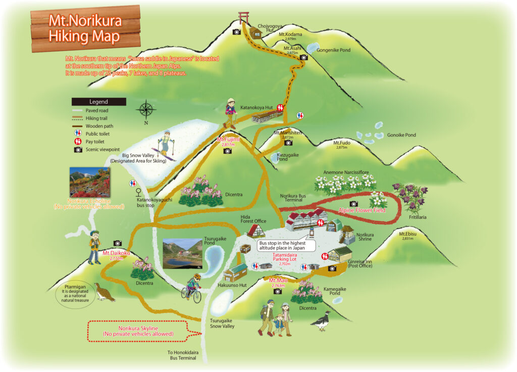
3:30 a.m. – Departed for Norikura Kogen Center in Nagano, which operates a shuttle bus service to Norikura Sancho Bus Terminal (Tatamidaira).
5:30 a.m. – Arrived at the Norikura Kogen Center parking lot. The drive was smooth, with little traffic, and there were plenty of parking spaces available.
7:00 a.m. – The first shuttle bus of the day departed. The ride to Tatamidaira, the trailhead, took about an hour. As the bus climbed higher into the mountains, the scenery gradually changed, with misty forests and mountain views welcoming us along the way.
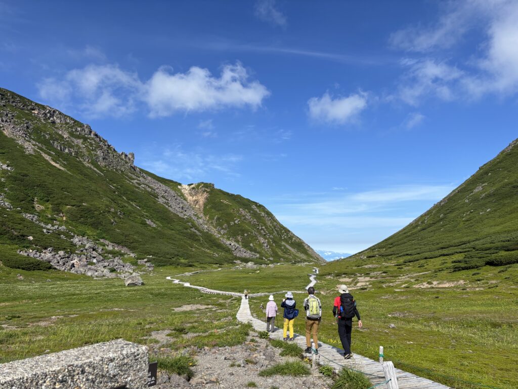
8:00 a.m. – We began our hike with a walk through a field of wildflowers. Many different kinds were in full bloom, painting the landscape with vibrant colors. The scene reminded Sachi and me of Mount Cook National Park in New Zealand, bringing back fond memories of our time there.
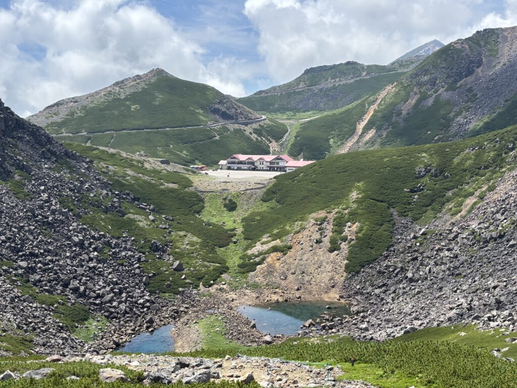
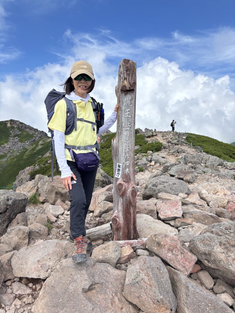
During the hike, we conquered several peaks around Mt. Norikura, including Mt. Fujimi (2,817 meters), Mt. Daikoku (2,772 meters), and Mt. Mao.
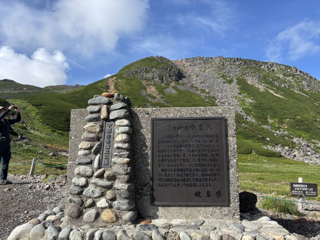
We were especially lucky to encounter a family of Raicho (rock ptarmigan)—a rare and special moment in the Japanese Alps. Many photographers come hoping for a glimpse of these elusive birds, but sightings are rare and truly feel like a gift from nature.
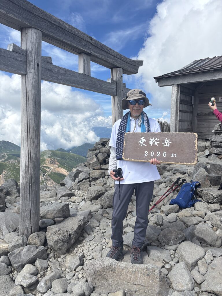
12:30 p.m. – We arrived at Katano-Sanso (肩の小屋) mountain hut, where we checked in, had a quick lunch break, and took a short nap to rest up before heading to the summit of Kengamine, the true peak of Mt. Norikura at 3,015 meters.
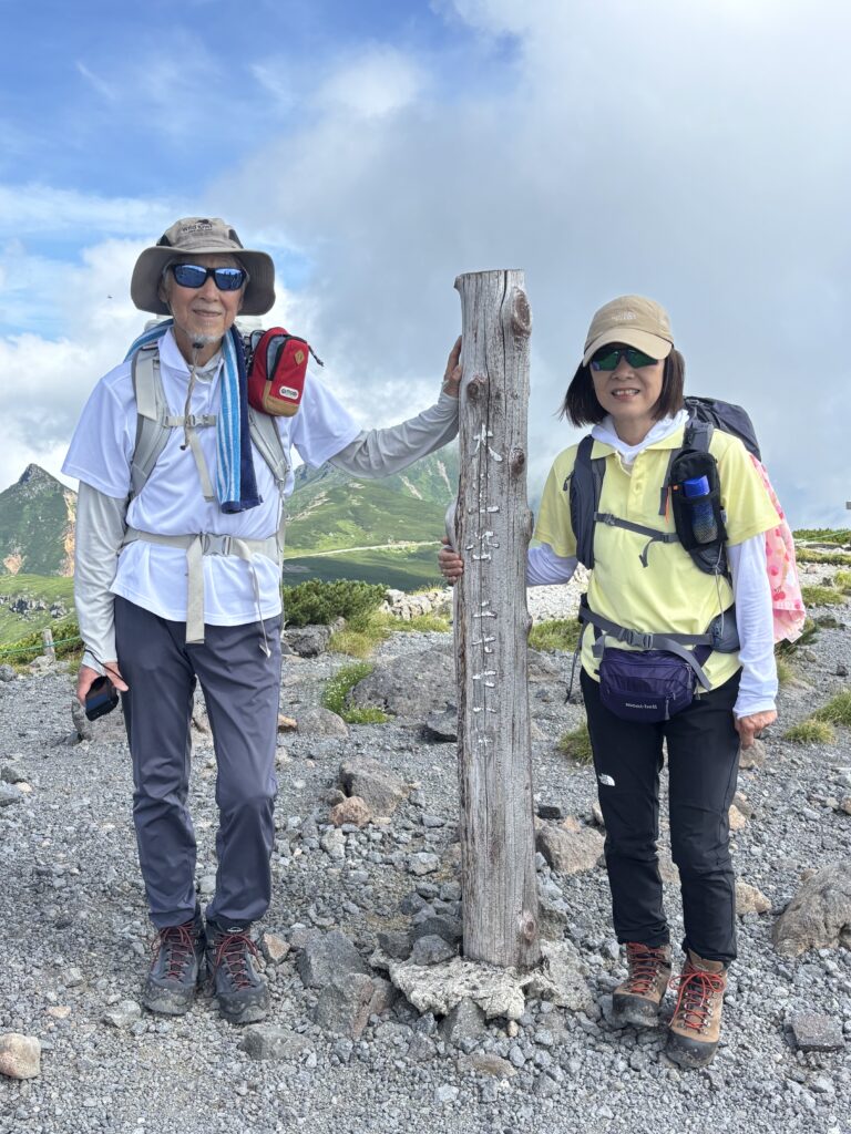
1:10 p.m. – We reached the summit of Kengamine! Standing at the highest point of Mt. Norikura, we were rewarded with stunning 360-degree views of the surrounding peaks and valleys. It was a short but exhilarating climb from the hut.
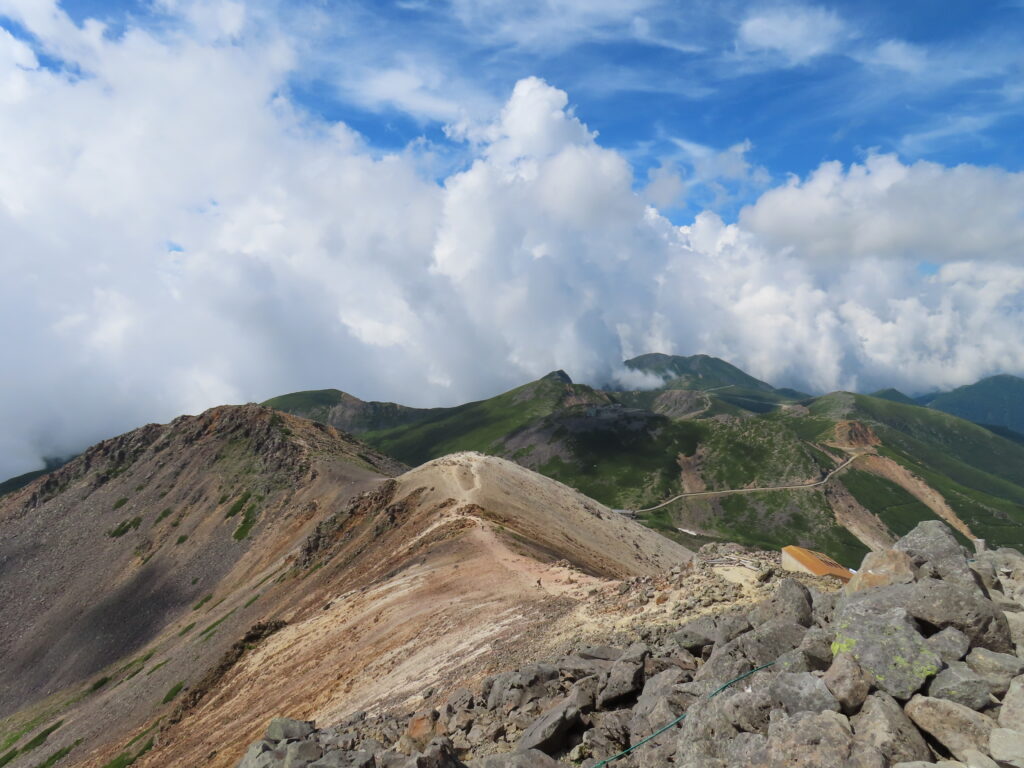
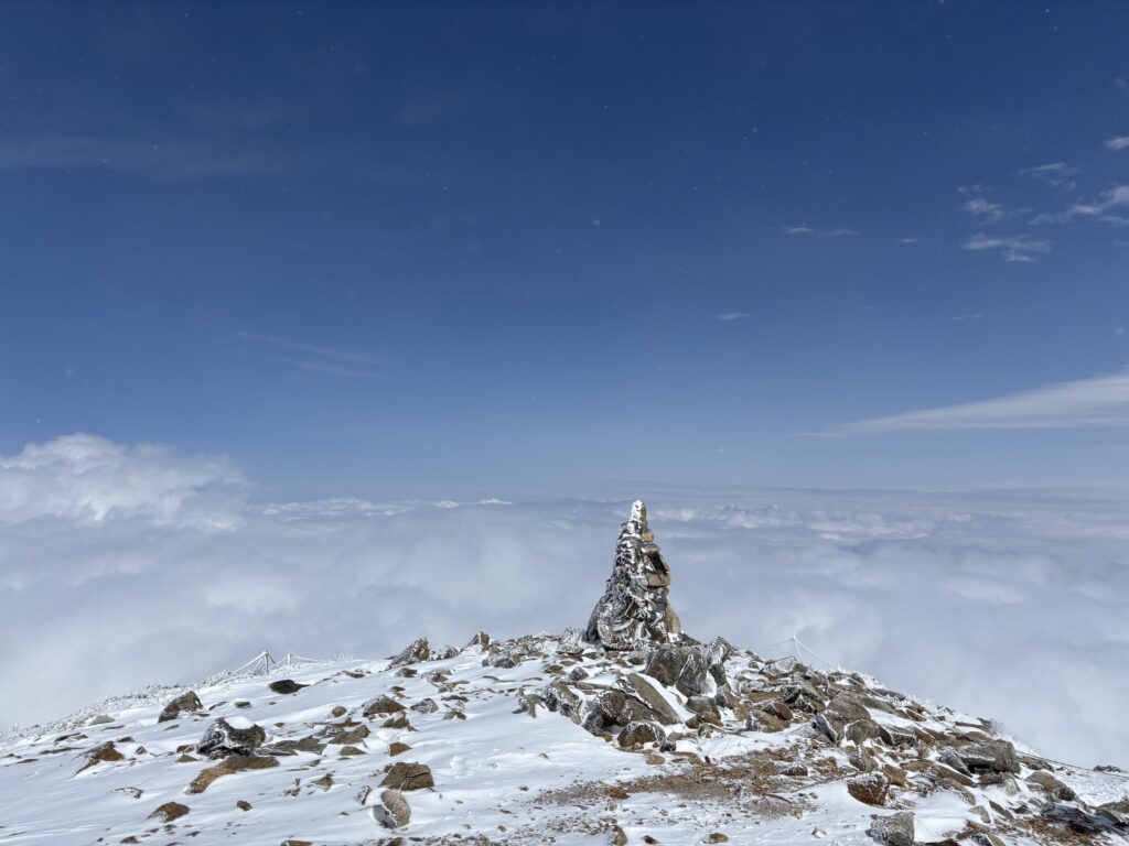
This photo captures several of the main peaks in the Norikura mountain range.
Day 2 Timeline: Tuesday, July 29th
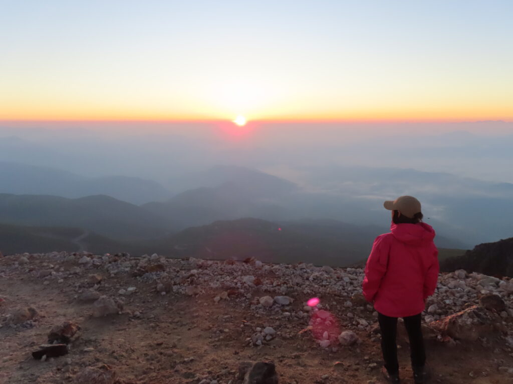
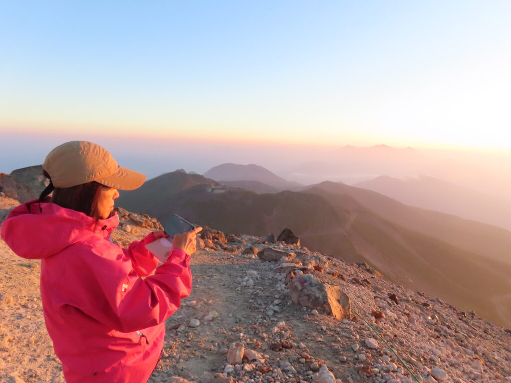
3:30 a.m. – We woke up early and set out toward the summit to watch the sunrise.
The sky was filled with countless stars, and the weather was perfect for sunrise viewing.
We were lucky to witness truly stunning moments—the first light breaking over the horizon, the sky slowly changing color, and the surrounding peaks glowing in the morning sun. It was an unforgettable experience.
7:00 a.m. – We had breakfast at the hut, then packed up and began our journey back down the mountain.
On the way home, we made a stop at Shirahone Onsen (白骨温泉)—a famous hot spring known for its milky-white water and healing properties.
Soaking in the warm spring water was incredibly relaxing and the perfect way to relieve our tired muscles after the hike. It was a peaceful and refreshing end to our mountain trip.
Afterward
A big thank you to Sachi for sharing this two-day adventure with me.
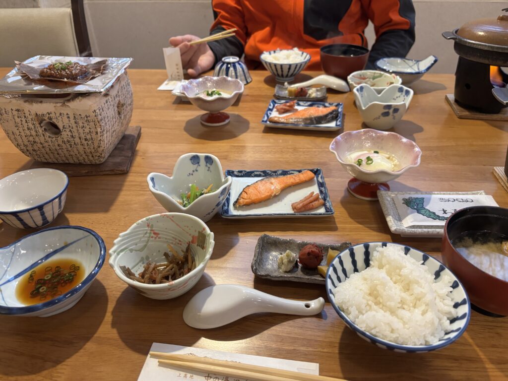
We had so many memorable moments—including laughing at an elderly man, probably around 80 years old, who piled an enormous amount of rice into his bowl, then went back for two more rounds! It was unbelievable, and we couldn’t stop laughing.
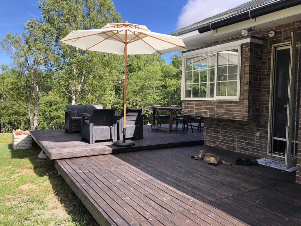
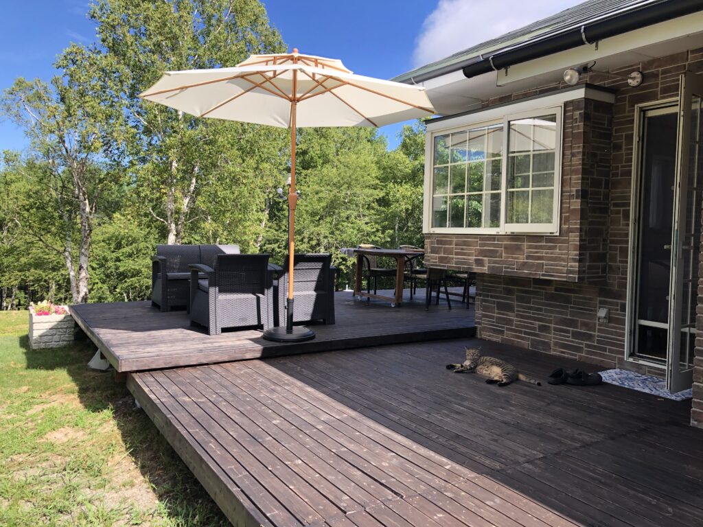
This morning, I’m enjoying a quiet and peaceful time on my outdoor deck. The sky is completely clear-no clouds, no wind-just the soft warmth of the sun shining down. It’s a calm and beautiful start to the day, perfect for Marine Day, a national holiday here in Japan.
As always, Tabby, my cat, woke me up early. After a refreshing shower and a hot cop of coffee, I stepped outside to soak in the atmosphere. The air is still, the trees are lush and green, and the only sounds I hear are birds singing and cicadas buzzing. Summer is alive all around me.
Tabby is wandering freely on the wooden deck, curious and content, blending perfectly with the peacefull rhythm of the morning. I’m listening to the redio quietly in the background, with the parasol gently casting shade over the outdoor chairs. Everything feels still, grounded, and full of simple joy.
It’s small mornings like this that remind me how lucky I am to be surrounded by nature and quiet moments.
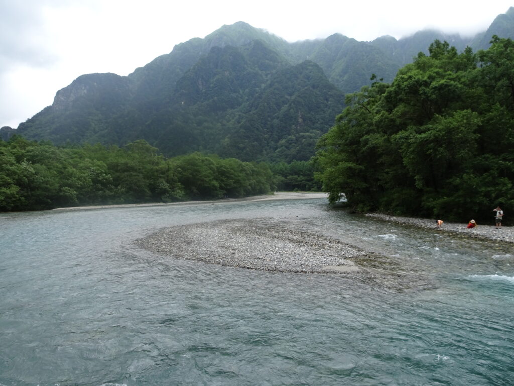
Kamikochi is a pristine highland valley situated in the heart of Chubu Sangaku National Park. Known as the gateway to Japan’s Northern Alps, it is famous for its stunning mountain scenery, crystal-clear Azusa River, and diverse alpine flora and fauna. Konashidaira, a scenic area within Kamikochi, serves as the perfect base for climbers heading into the Northern Alps, offering easy access to trails and tent sites.
🗓 Dates: August 9th (Sat) – August 11th (Mon), 2025 📍 Destination: Chubusangaku National Park, Nagano, Japan ⛺ Meeting Point & Time: Kamikochi Visitor Center, 8:00 AM, August 9th
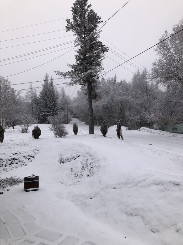
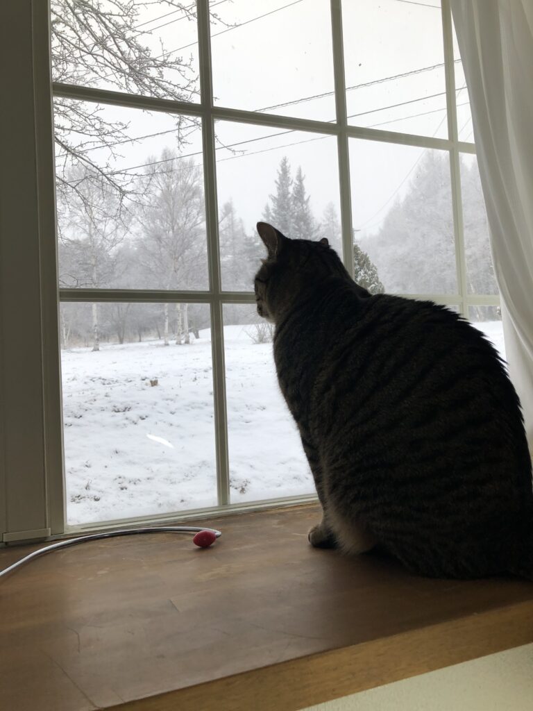
On Friday, April 4th, the ground is snow-covered in the morning as well. Snowflakes blanket the trees, creating a beautiful scene. Still, I can’t help but wonder when spring will finally arrive here. Hey, Tabby, what are you thinking about?
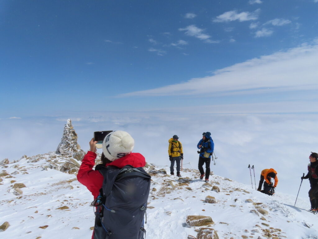
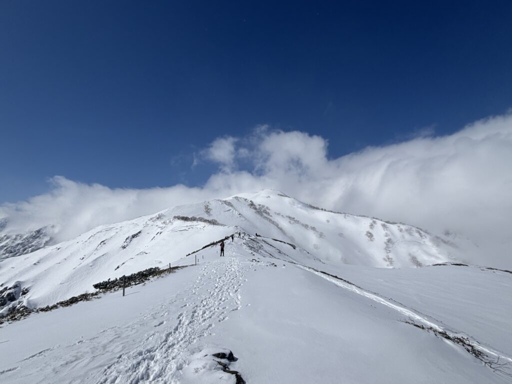
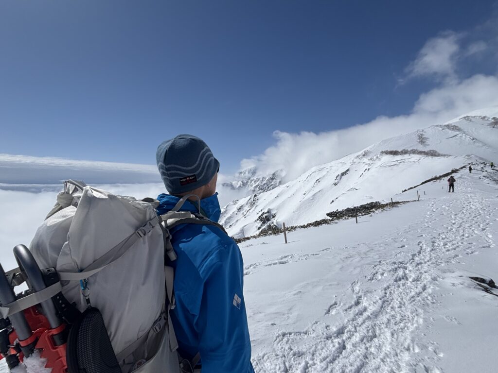
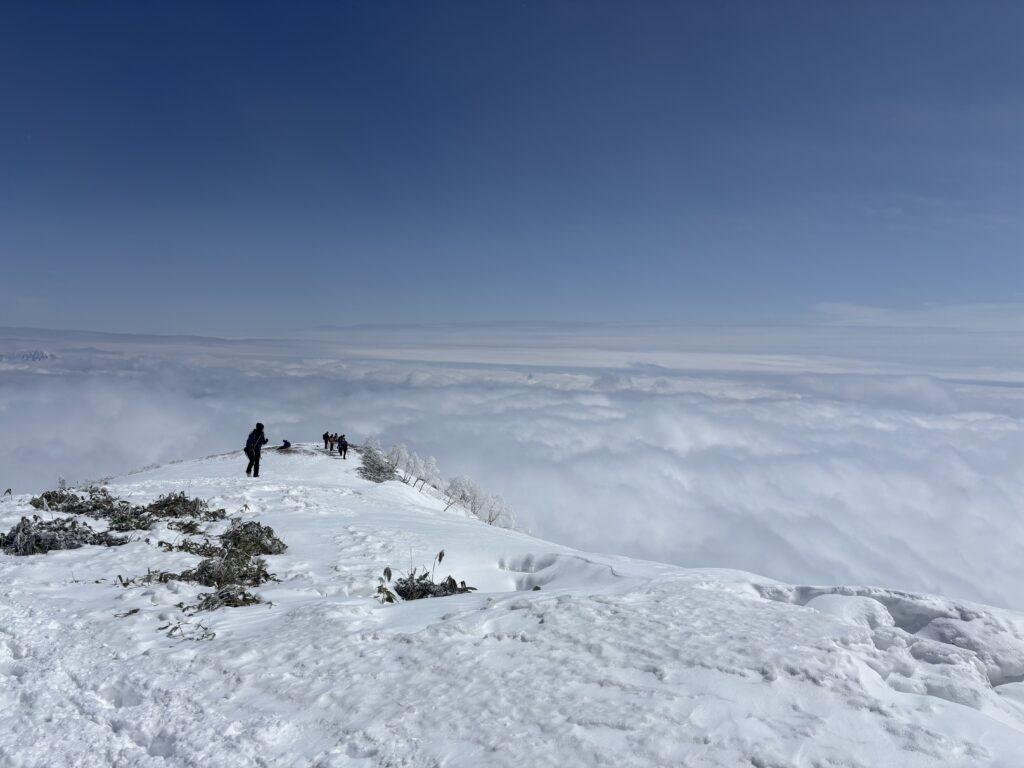
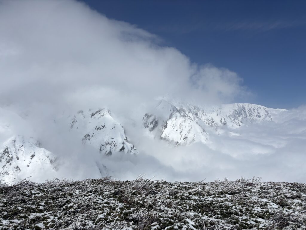
I didn’t reach the summit of Mount Karamatsu-Dake again. Over the past two years, I’ve attempted the climb four times in winter, but each time, I had to turn back midway due to bad weather.
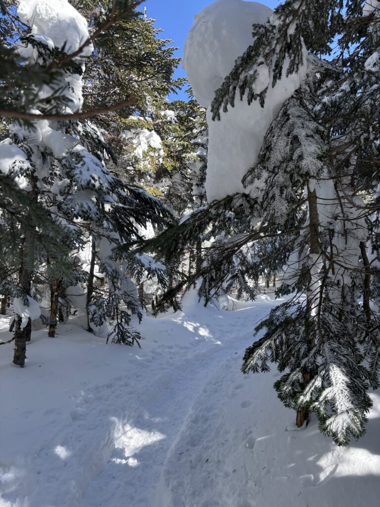
The hike started off well—my body felt good, and the snowy trail, packed down by many hikers, provided a steady path. The weather was unstable, but now and then, patches of blue sky would break through.
As I climbed, discomfort crept into my leg and back. Pain spread through my left thigh joint and lower back, and with each step, my leg grew heavier. I barely made it to Maruyama Cairn at 2,434 meters, but the summit was still over 200 meters of elevation away. I decided to push on a bit farther to see how my leg and back would hold up.
In the end, this was my fifth attempt to reach the top, but once again, I had to turn back—not because of the weather this time, but because of my own physical condition.
Afterword
Mt. Karamatsu-Dake continues to challenge us, but we embrace and enjoy the journey. Although we didn’t reach the summit this time, we still had a great adventure and look forward to our next exploration!
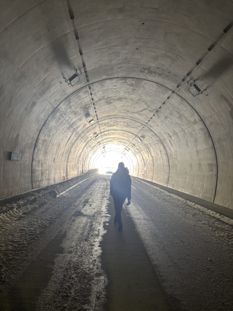
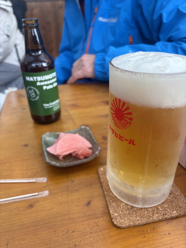
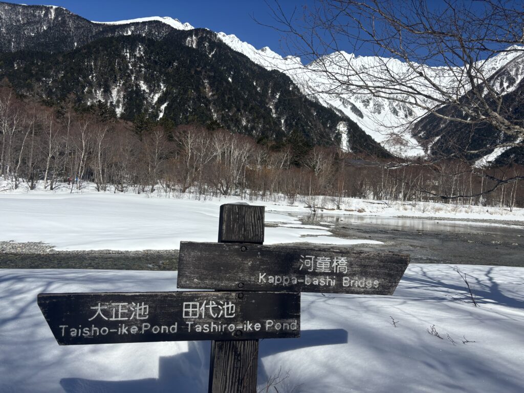
5:00 a.m. – Departed for Nakanoyu Onsen Ryokan, Nagano. 7:30 a.m. – After checking in at the ryokan, we took a shuttle minivan to the trailhead at Kama Tunnel. There was a small stall at the trailhead where hikers could grab a coffee, beer, or a quick bite. 7:45 a.m. – Started our hike toward Kappa Bridge and Konashidaira. We passed through two tunnels: Kama Tunnel (1,200 meters) and Kamikochi Tunnel (600 meters). Both tunnels had a moderate incline, making for a steady uphill walk.
9:30 a.m. – Reached Kamikochi Bus Terminal and continued for another 15 minutes to arrive at Kappa Bridge.
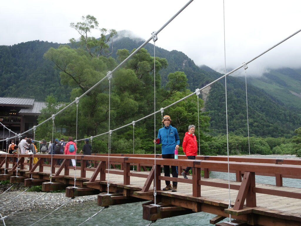
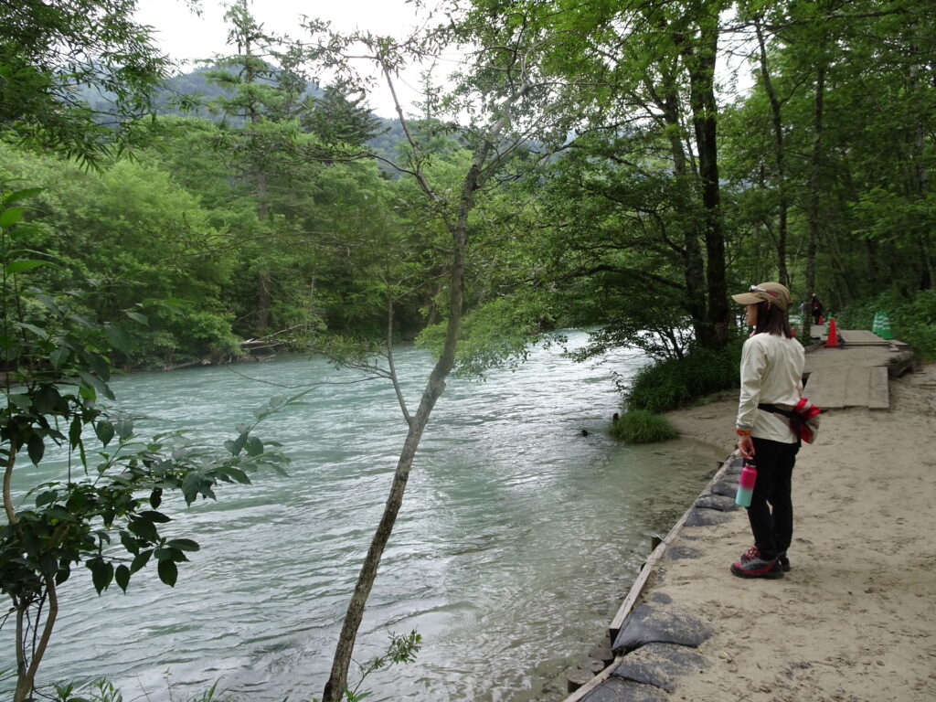
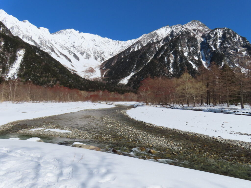
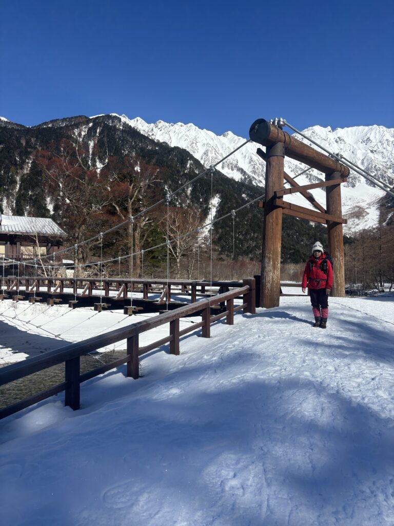
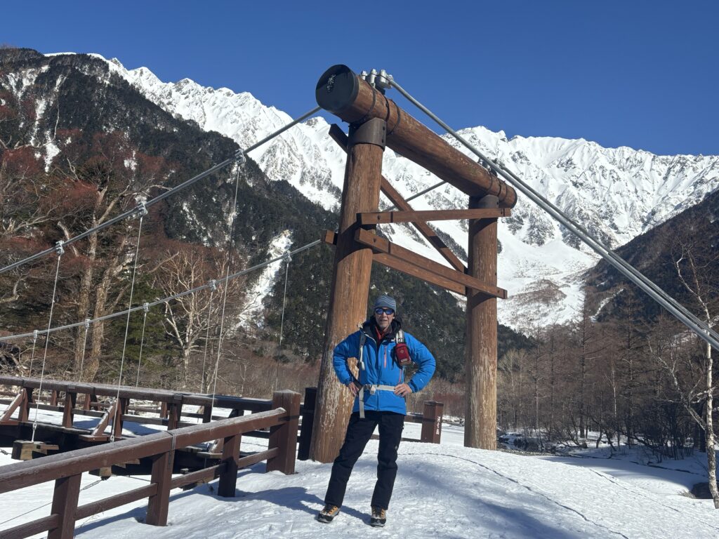
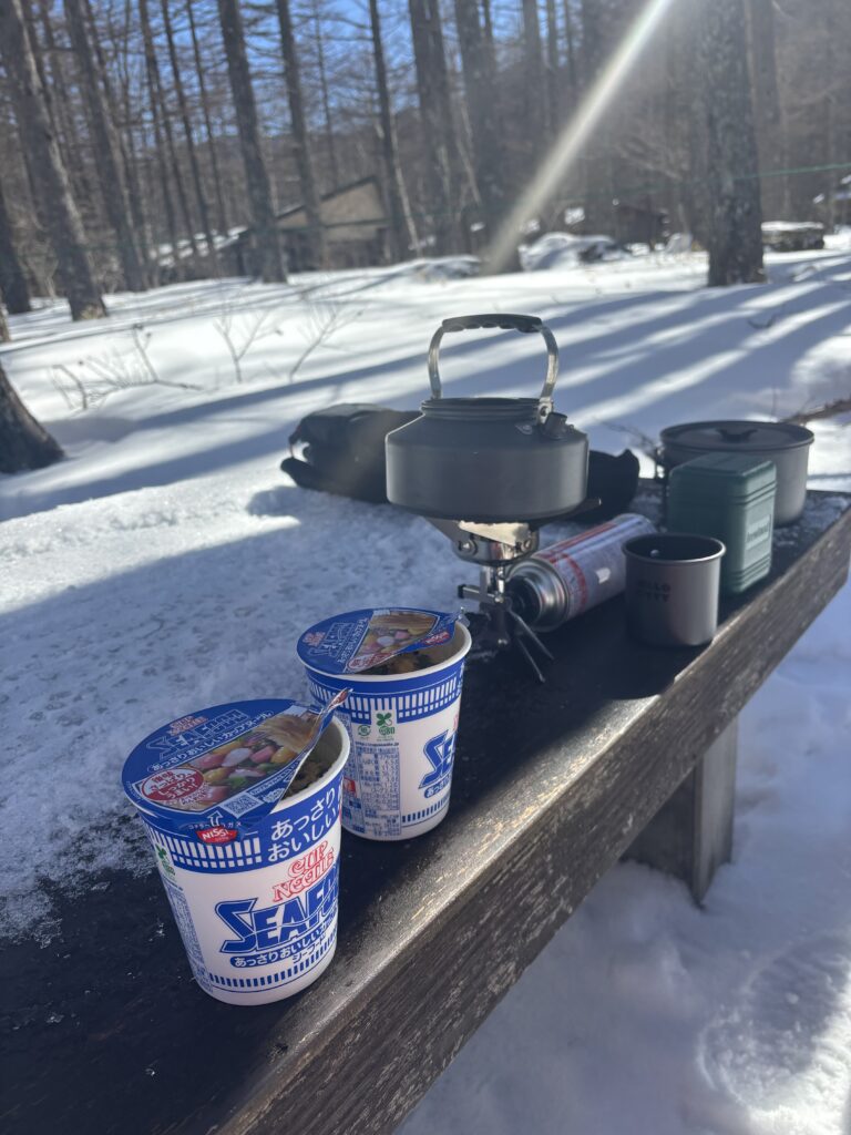
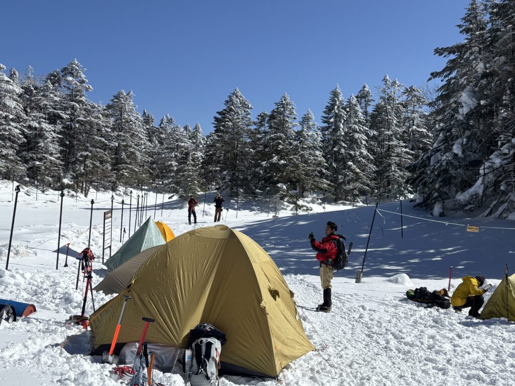
From the bridge, we enjoyed stunning panoramic views of the Northern Alps mountain range and the crystal-clear Azusa River winding through the valley. At the Konashidaira campsite, two groups had pitched their tents on the snow-covered ground, clearing some snow and piling it around for insulation. Sachi and I took a short lunch break there.
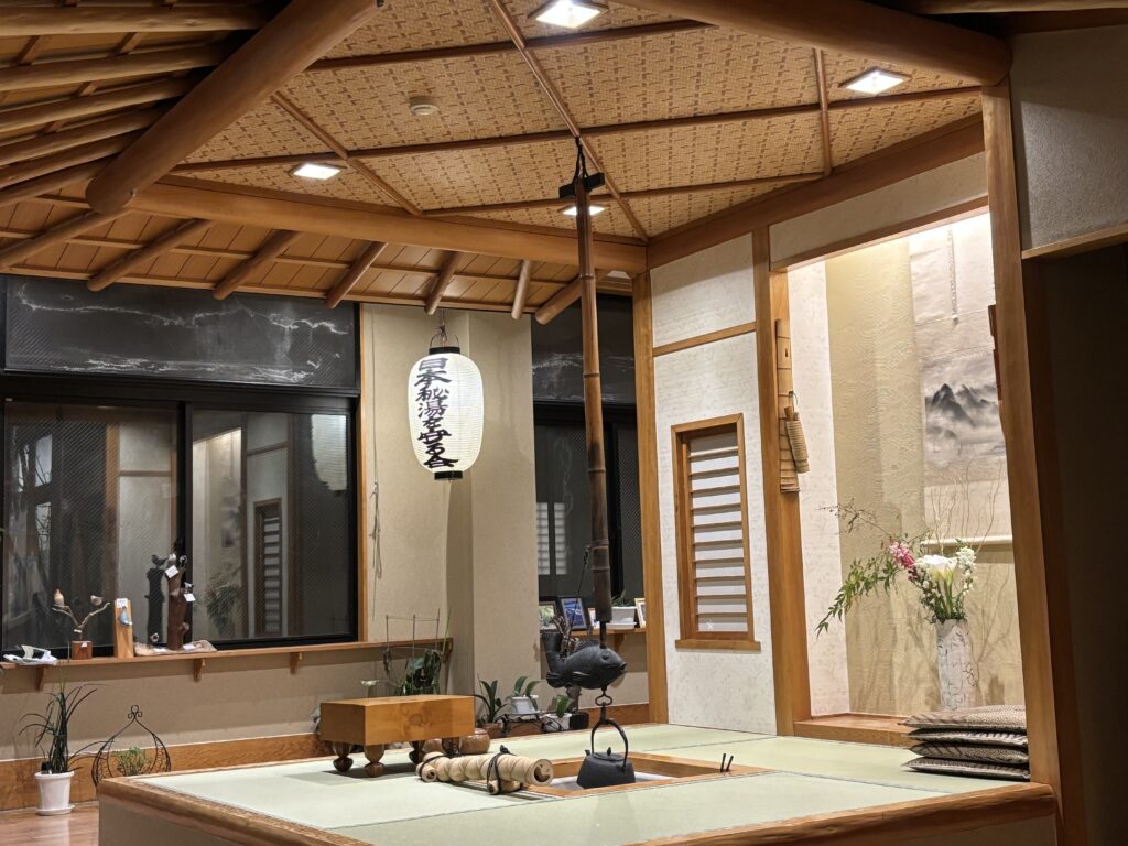
2:30 p.m. – Returned to the ryokan. The spacious, modern lobby had large windows offering a clear, panoramic view of the mountains. The ryokan featured both indoor and open-air onsen baths, available 24 hours a day for guests to enjoy anytime.
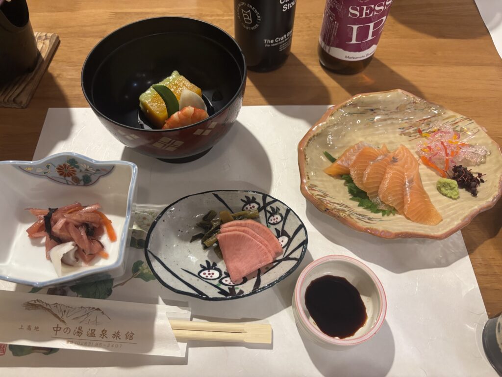
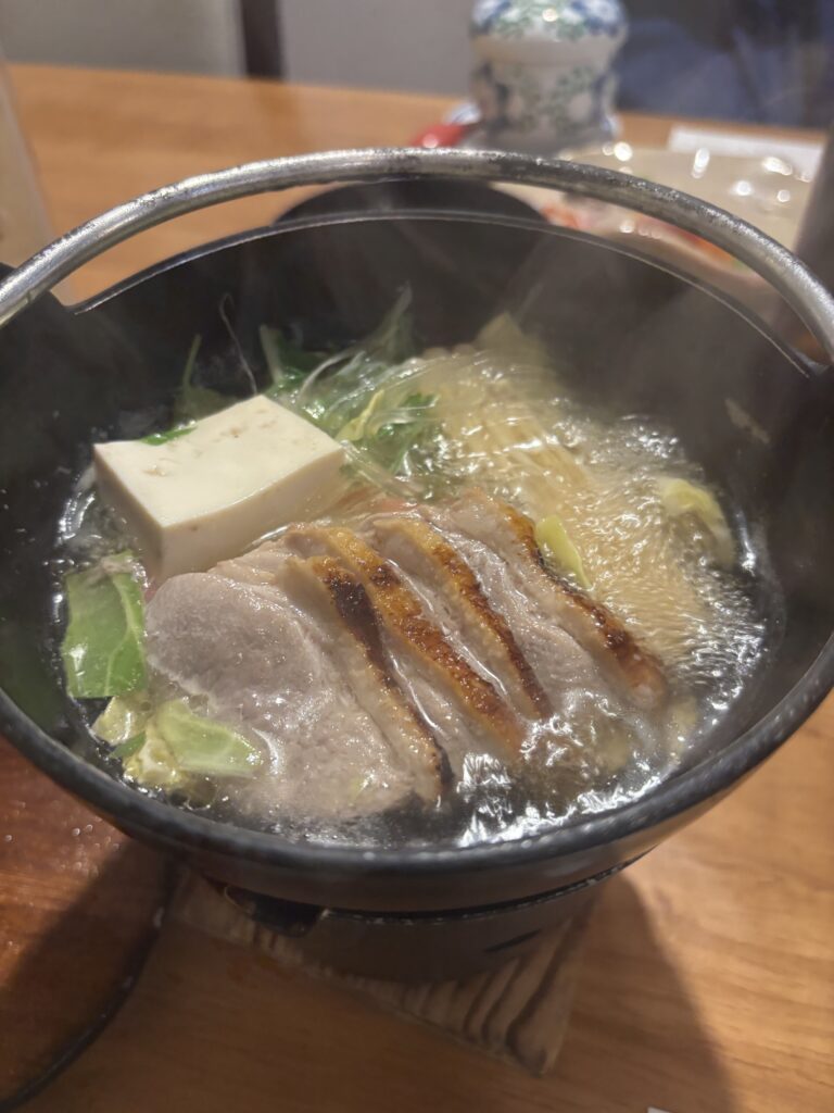
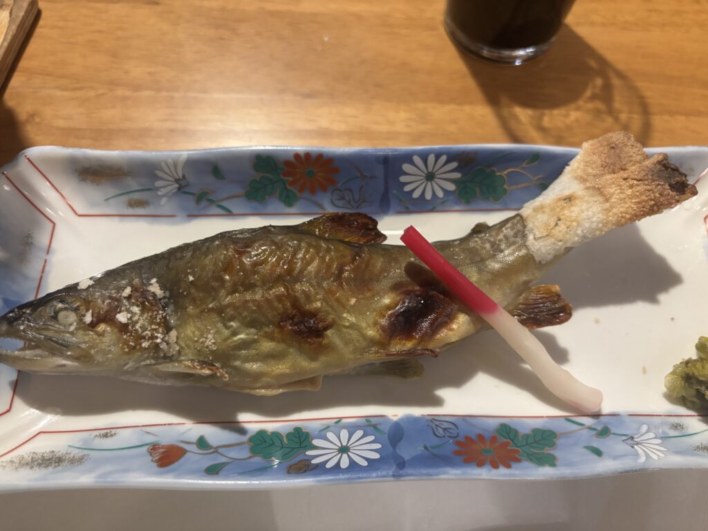
We enjoyed a Japanese ryokan-style dinner featuring seafood, meats, and all local specialties.
Afterword
Thank you, Sachi-san, for everything you did—booking the ryokan and driving all the way there. Our next adventure will take us to Mount Karamatsu on March 28th.
Stunning winter scenery from the summit of Mount Tengu-Dake, captured in a video by Sachi-san.
Summary of the Trip; Feburuary 15th,2025
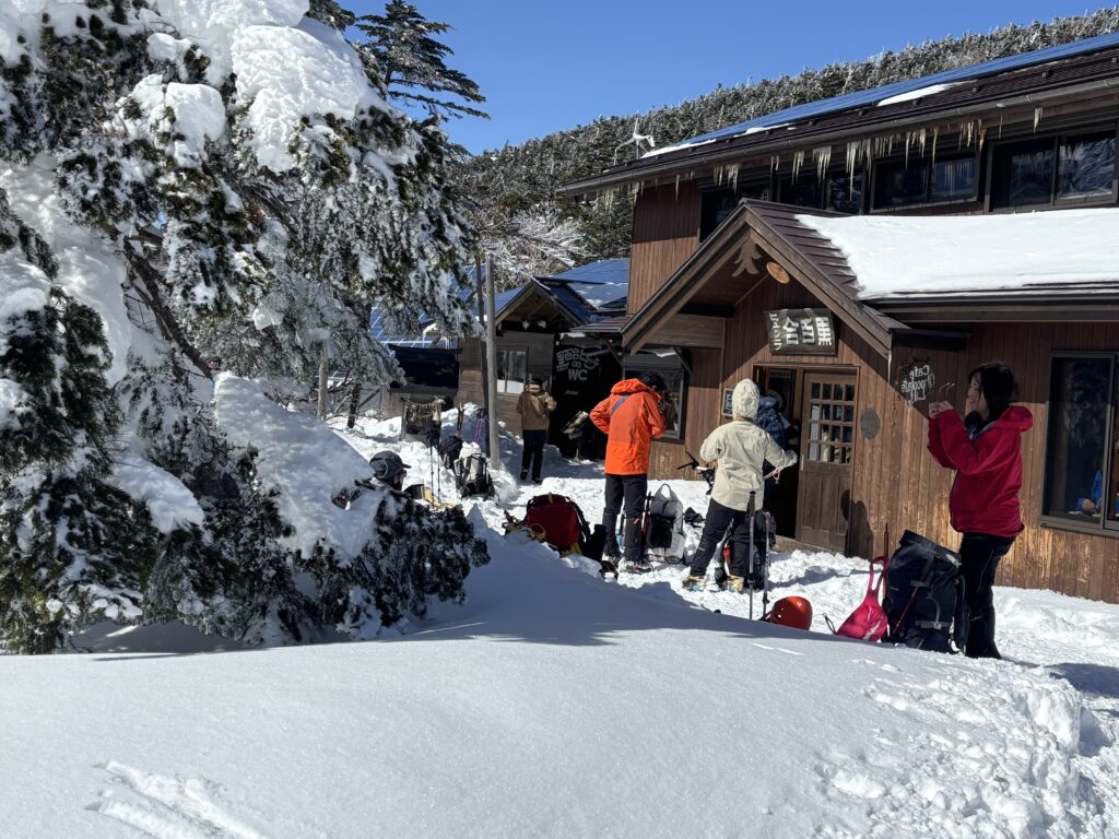
4:30 a.m. – Departed for Shibunoyu Onsen Ryokan. Parking information: The lot opens at 6:00 a.m., with space for about 30 vehicles. The fee is 1,000 yen per day, payable in advance at the ryokan.
6:30 a.m. – Started hiking. It took about 30 minutes to reach the first fork, where the trail meets the Karasawa Kosen route. Another 30 minutes later, We reached the second fork, eventually arriving at Shirayuri Mountain Hut around 8:00 a.m.
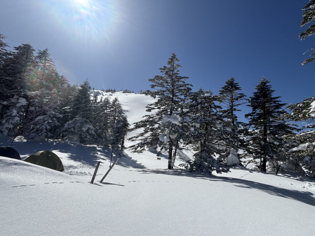
8:15 a.m. – Began the real climb. We traversed two sections of rocky terrain along the ridge, moving up and down before safely making our way through the forest. Beyond this point, the trail grew steeper, with no trees—only deep snow and rocks.
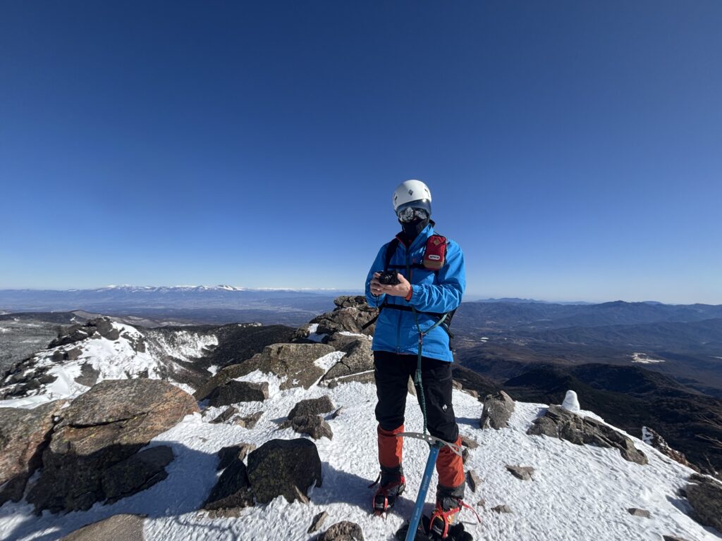
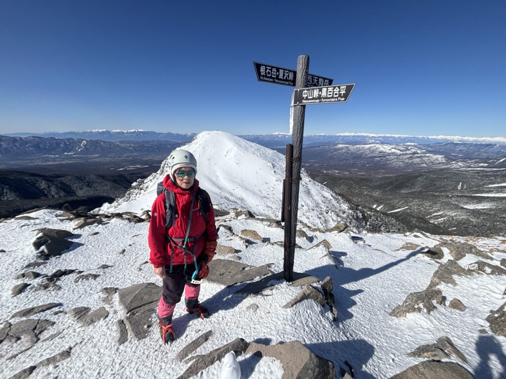
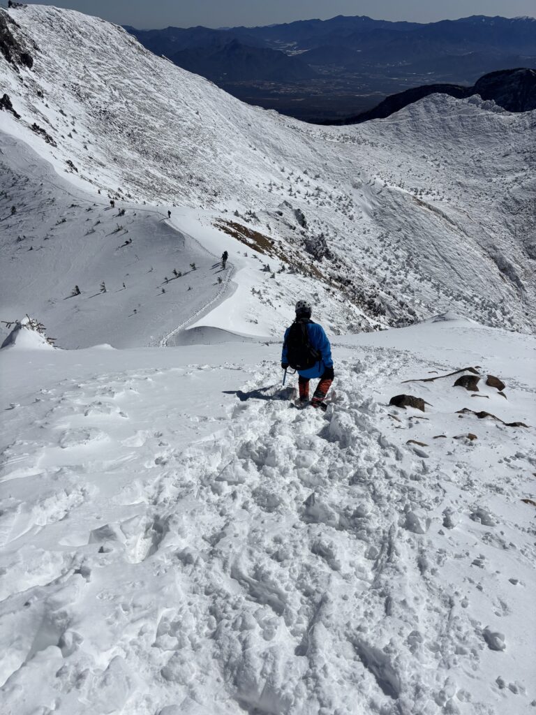
9:30 a.m. – Reached the summit of East Tengu-Dake2,640m The most challenging part of the climb was near the summit, where the terrain became even steeper and more technical. Using crampons and ice axes, we carefully navigated the rocky slopes, relying on our hands for support and placing each step with caution. A single slip could have resulted in serious injury. Despite the difficult conditions, we successfully reached the summit at 9:30 a.m. without any incidents.
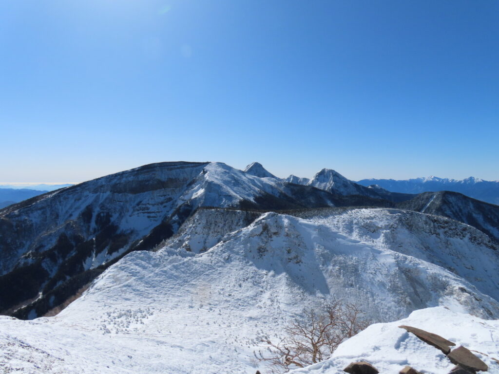
10:30 a.m. – Reached the summit of West Tengu-Dake (2,646m) After reaching East Tengu-Dake, we continued our traverse to West Tengu-Dake, following the ridge for about an hour, with a descent and another climb. From the summit, Sachi and I enjoyed breathtaking 360-degree panoramic views of the surrounding mountains—a truly picturesque sight.
Afterword
Thank you, Sachi-san, for all your hard work and effort in preparing for this trip. This time, we completed an almost non-stop round trip in just seven hours. I know it was a tough challenge, and you ended up feeling unwell from exhaustion. However, despite the difficulty, you never once fell behind my hiking pace.
To Satoko-san Unfortunately, you decided to sit this one out as it didn’t match your skill level, and we completely respect your decision. Our meetup welcomes hikers of all levels, and Sachi and I are always happy to support you. We look forward to seeing you at the next event!
To my students, Hanami and Satake I will keep my fingers crossed for you guys. Good luck with the entrance exams!