Introduction: A Perfect Forecast and a Personal Test
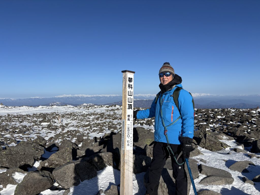
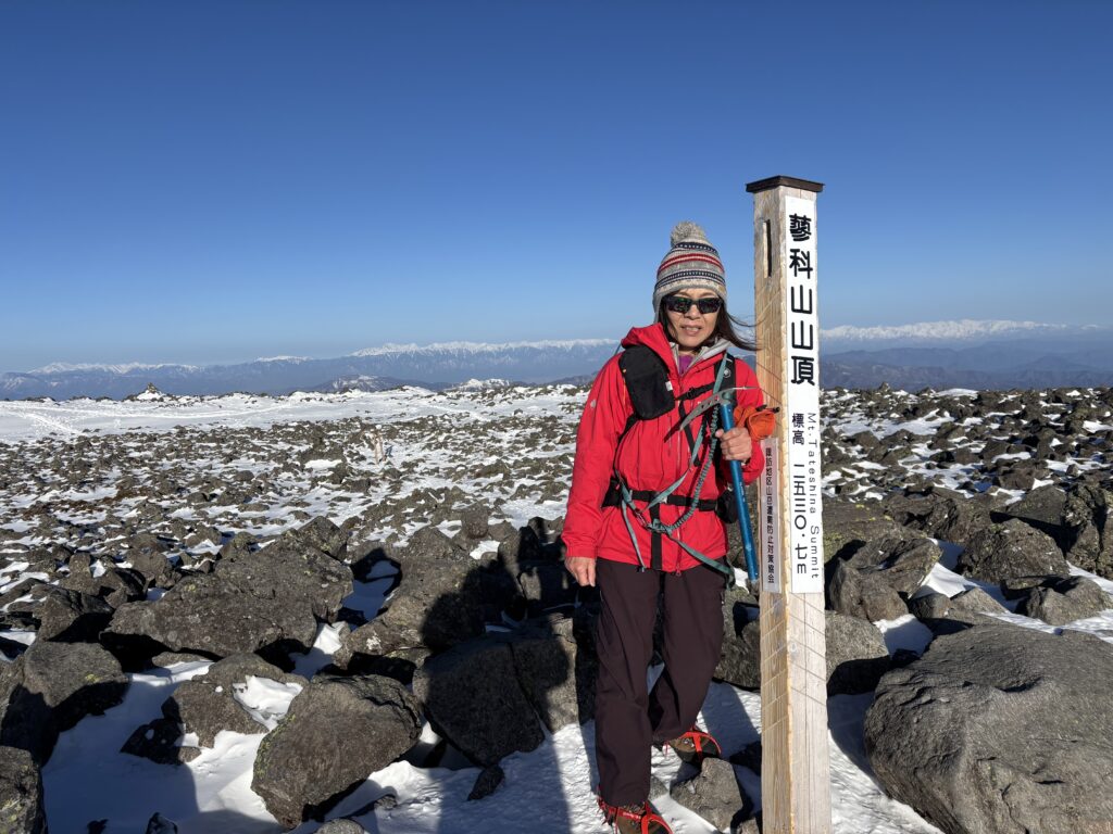
There is nothing quite like the weather, a clear blue sky to pull you back to the mountains. This past Sunday morning, Sachi and I found ourselves standing at the windy, snow-swept summit of Mt. Tateshina, taking in the panoramic views at an elevation of 2,531 meters.
However, this trip was about more than just reaching the peak; it was a personal test. During our previous hike at Mt. Tengu-dake, I experienced some persistent discomfort in my legs and back, eventually forcing us to turn around halfway. It’s never easy to cut a hike short, so when the weekend forecast for Tateshina promised perfect conditions, I knew it was the right time to see if my body had recovered.
The Ascent: A snowy and craggy Steep Climb
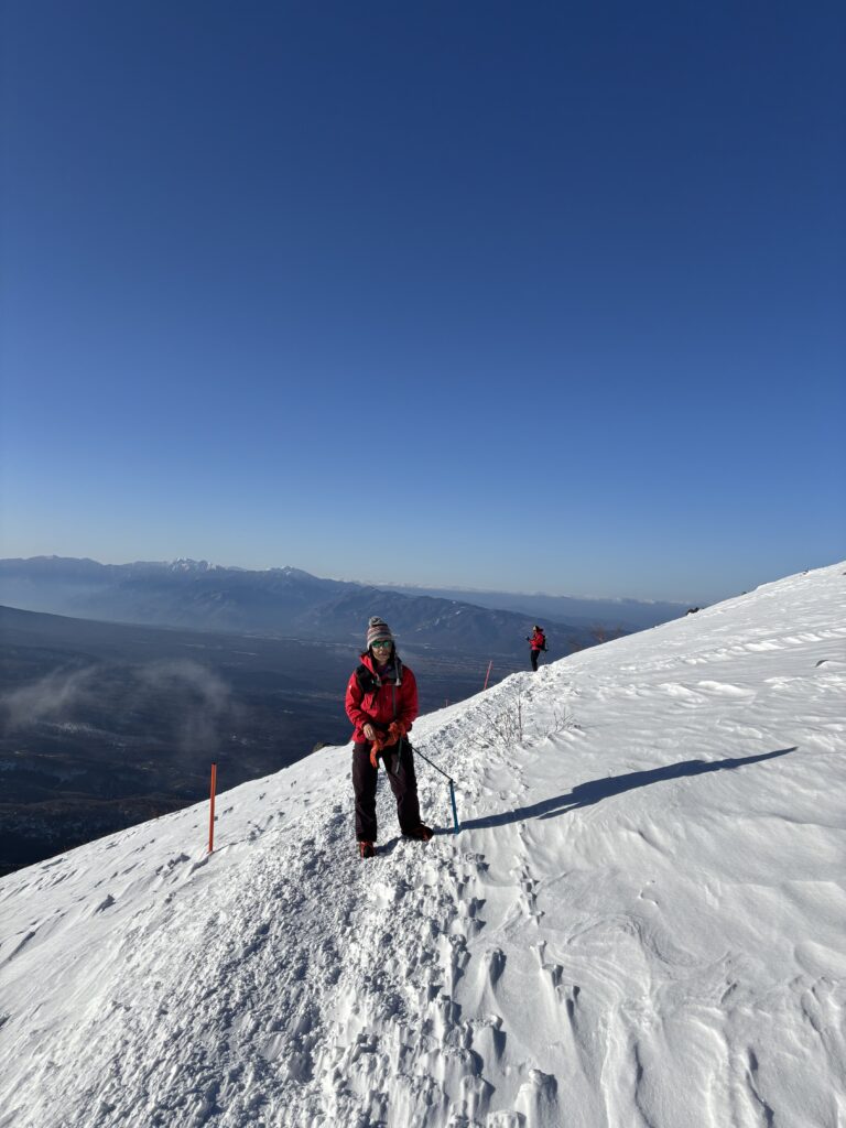
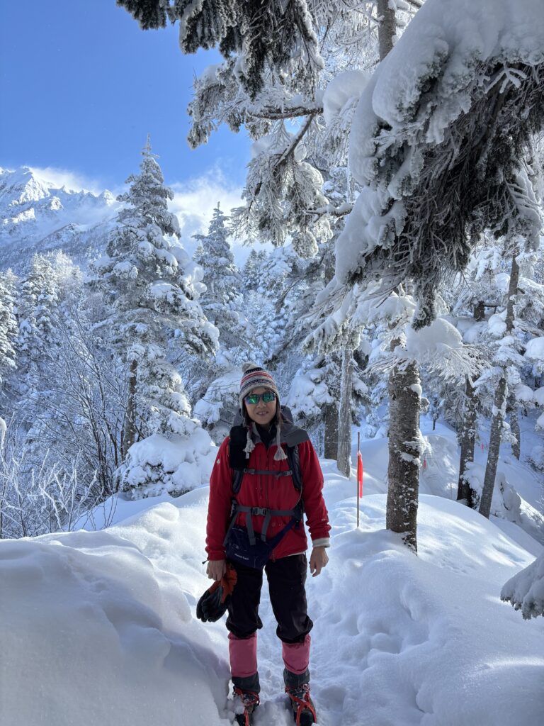
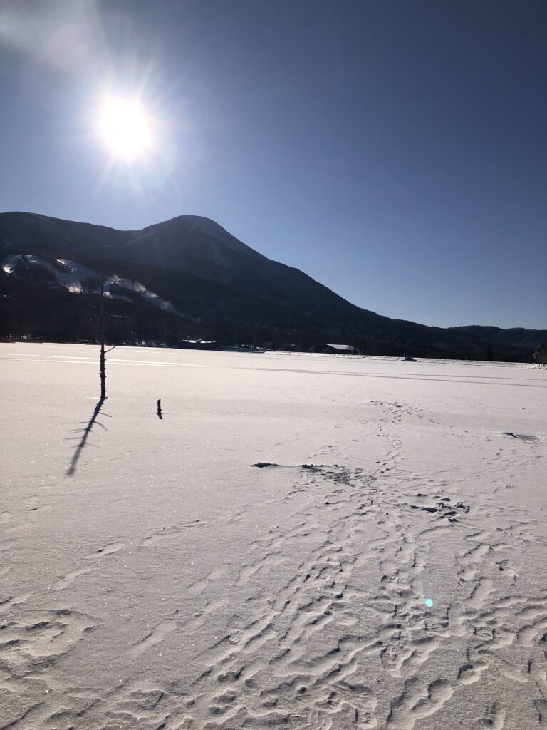
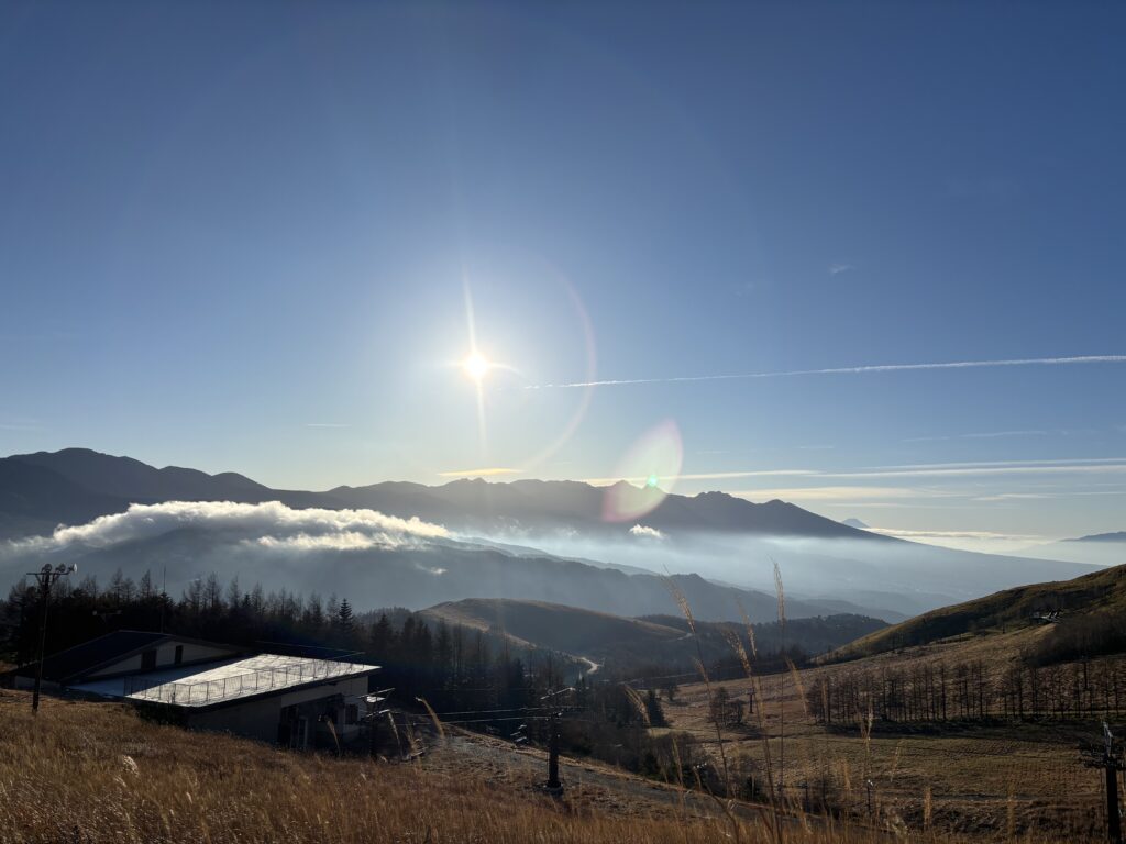
Our journey began in the quiet of the early morning. With headlamps cutting through the darkness, Sachi and I hit the trail at 5:30 a.m. There is a certain stillness in the mountain air at that hour that makes every step feel significant. The trail was well-maintained, marked by the reassuring “stamp” of previous hikers’ footprints frozen into the snow. The squeaking of snow sounds feels good on our feet, a constant, satisfying rhythm of a winter trek.
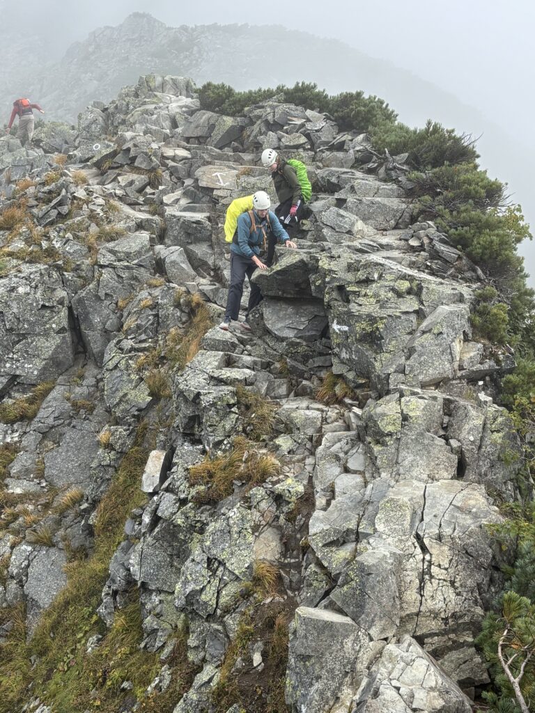
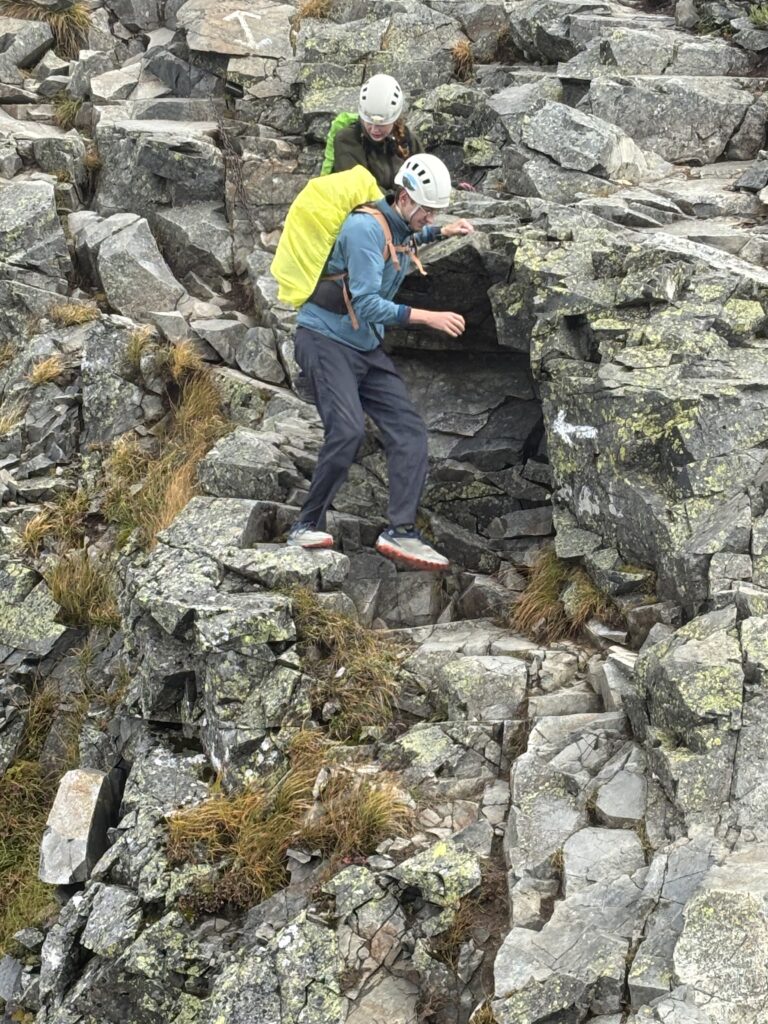
While Mt. Tateshina is often categorized as a beginner-friendly peak, winter tells a different story. The path is quite steep and craggy with icy snow, requiring steady footwork and focus. At this elevation, two things are non-negotiable:
- Crampons: Essential for grip on the icy, rock-strewn inclines.
- Extra Layers: To protect against the dropping temperatures and biting wind, to prevent frostbite.
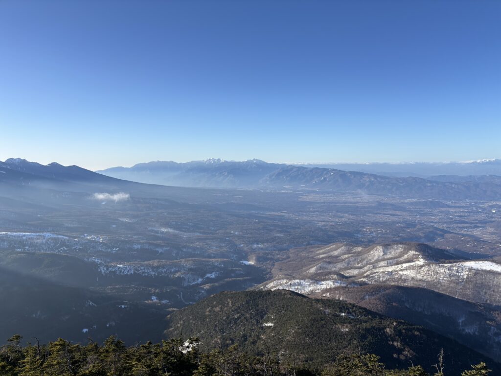
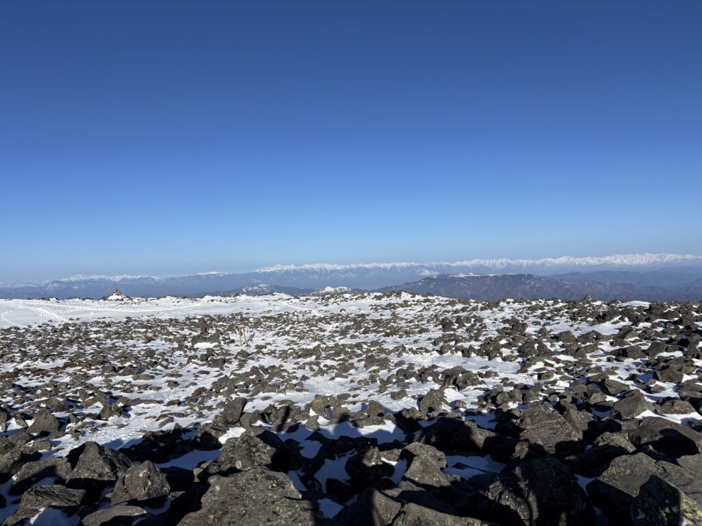
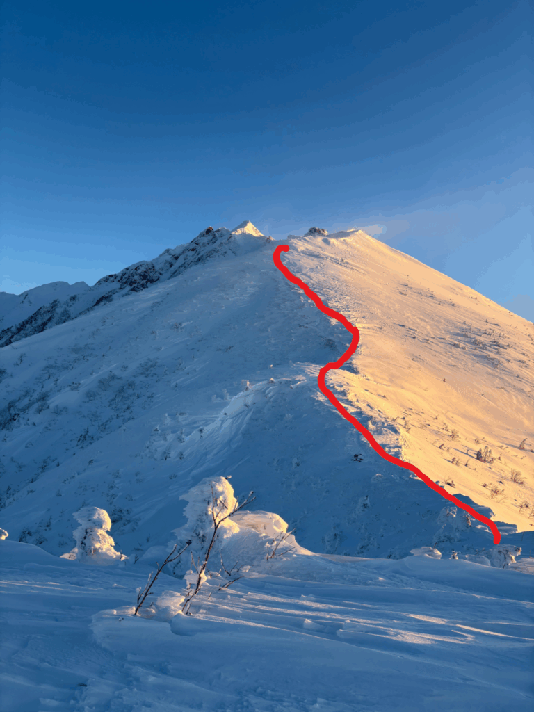
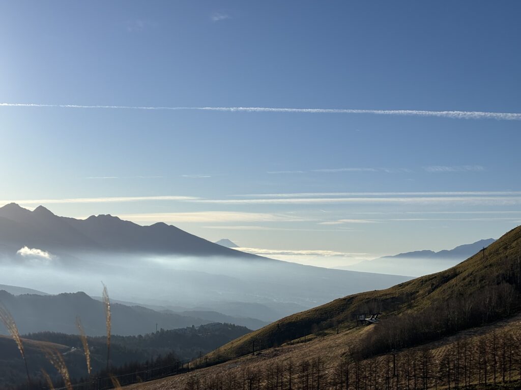
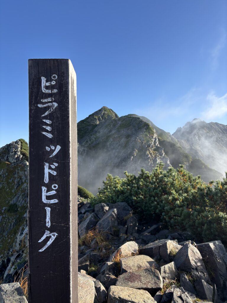
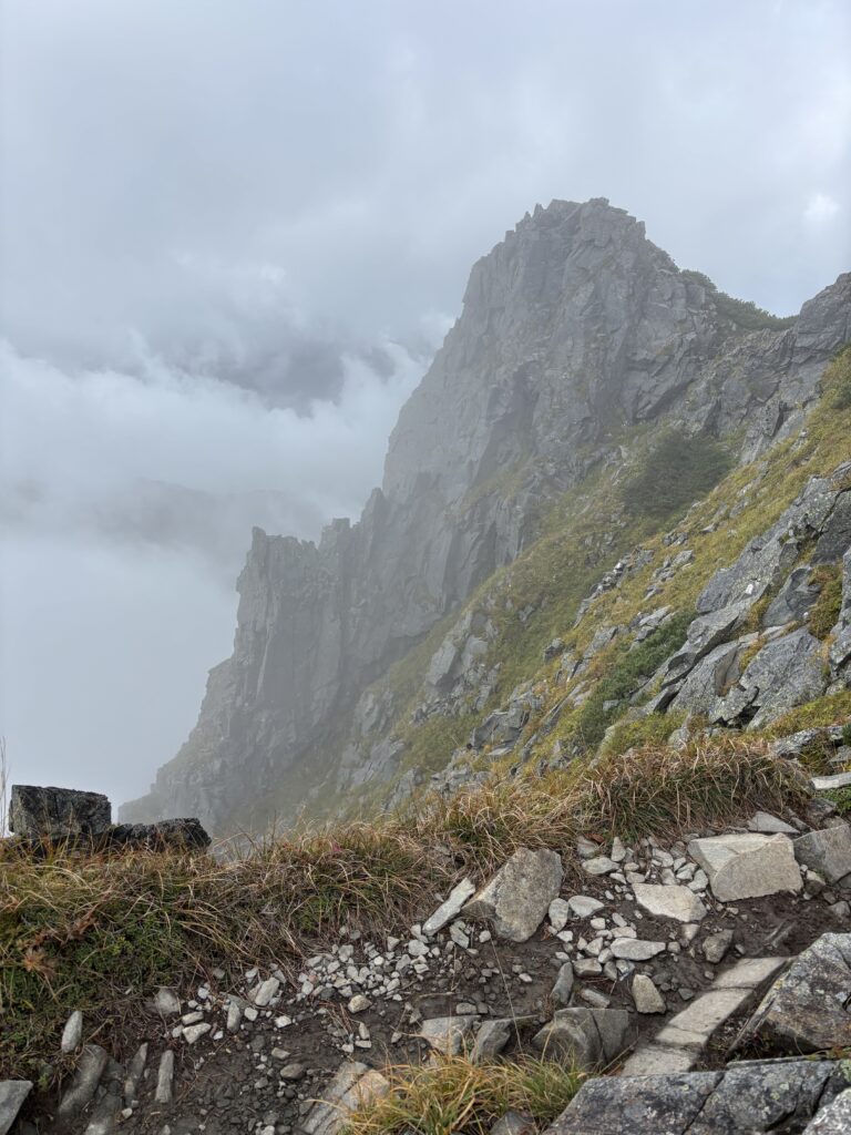
By the time we reached the final stretch toward the peak, the landscape shifted into a massive field of boulders. As you can see in the photos, the rocks are immense, and the wind is relentless. It never seems to stop up there!
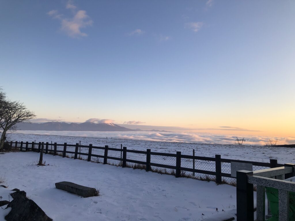
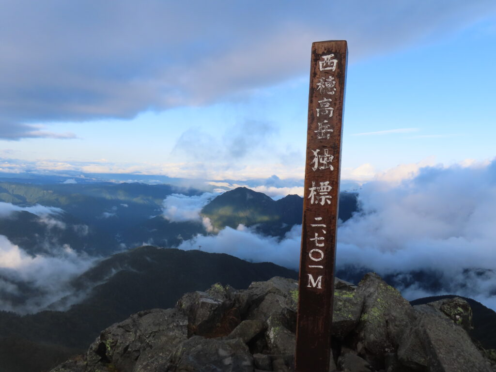
The Summit: A 360-Degree Reward
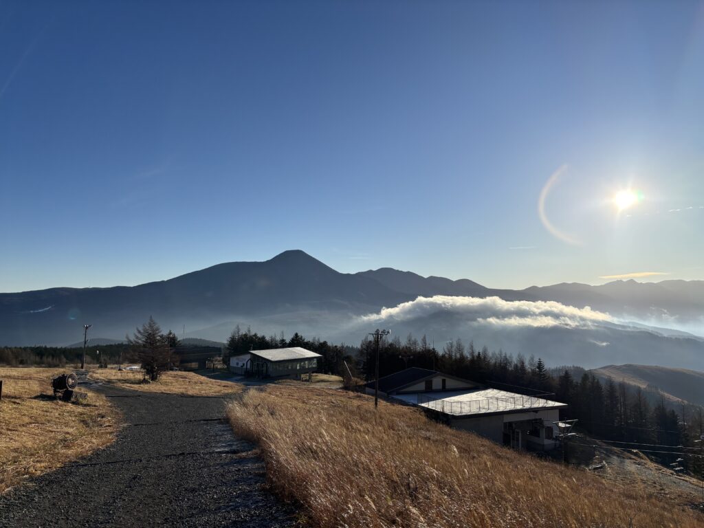
Stepping onto the vast, boulder-strewn plateau of the summit—marked officially at 2530.7m—the wind was fierce, but the reward was even greater. The 360-degree view was simply stunning. From our vantage point, we could clearly see:
- Mt. Yatsugatake: Standing tall and rugged nearby.
- The Central and Northern Alps: Stretching across the horizon in a jagged, snow-capped line.
- Mt. Ontake: Perhaps the most spectacular sight of all—it looked like it was floating in the deep blue sky, isolated and majestic in the distance.
Final Thoughts
Hiking Mt. Tateshina in winter is a reminder that even when you have to turn back once, the mountains will always be there waiting for you when you’re ready. With the right gear, a good partner like Sachi, and a bit of luck with the weather, even a “recovery hike” can turn into a world-class adventure.